Olfert Fischers Gade, Copenhagen
Map

Gallery

Facts and practical information
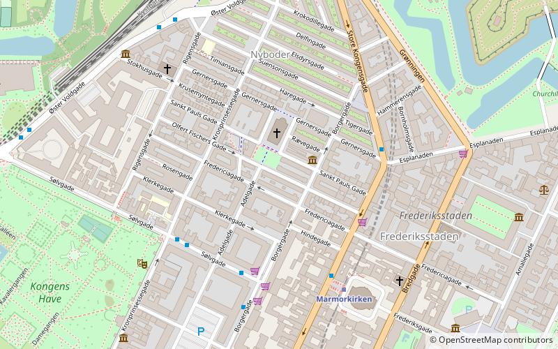
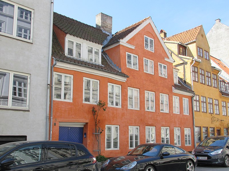
Olfert Fischers Gade is a street in the Nyboder Quarter of central Copenhagen, Denmark. It runs from Store Kongensgade in the east to Rigensgade in the west, intersecting the streets Borgergade, Adelgade/Sankt Pauls Plads, Gammelvagt and Kronprinsessegade on the way. The street is closed to through traffic on the west side of Borgergade. It is named after the naval officer Olfert Fischer who commanded the Danish fleet in the Battle of Copenhagen in 1801. ()
Coordinates: 55°41'14"N, 12°35'13"E
Address
Indre By (Gammelvagts)Copenhagen
ContactAdd
Social media
Add
Day trips
Olfert Fischers Gade – popular in the area (distance from the attraction)
Nearby attractions include: Jazzhus Montmartre, Marmorkirken, Hirschsprung Collection, Charlottenborg Palace.
Frequently Asked Questions (FAQ)
Which popular attractions are close to Olfert Fischers Gade?
Nearby attractions include Sankt Pauls Gade, Copenhagen (1 min walk), St. Paul's Church, Copenhagen (2 min walk), Bygningskulturens Hus, Copenhagen (3 min walk), Gernersgade, Copenhagen (3 min walk).
How to get to Olfert Fischers Gade by public transport?
The nearest stations to Olfert Fischers Gade:
Bus
Metro
Light rail
Train
Ferry
Bus
- Kronprinsessegade • Lines: 23 (4 min walk)
- Borgergade • Lines: 23 (4 min walk)
Metro
- Marmorkirken • Lines: M3, M4 (5 min walk)
- Østerport • Lines: M3, M4 (11 min walk)
Light rail
- Østerport • Lines: A, B, Bx, C, E, H (10 min walk)
- Nørreport • Lines: A, B, Bx, C, E, H (17 min walk)
Train
- Østerport (11 min walk)
- Nørreport (16 min walk)
Ferry
- Nordre Toldbod • Lines: 991, 992 (13 min walk)
- Operaen • Lines: 991, 992 (16 min walk)

 Metro
Metro


