St. Paul's Church, Copenhagen
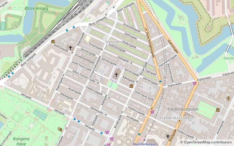
Map

Gallery

Facts and practical information
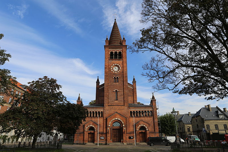
St. Paul's Church is a Lutheran church in central Copenhagen, Denmark, also colloquially known as Nyboder's Church due to its location in the middle of the Nyboder area. It was designed by Johannes Emil Gnudtzmann and constructed from 1872 to 1877. ()
Local name: Sankt Pauls Kirke Completed: 15 February 1877 (148 years ago)Coordinates: 55°41'16"N, 12°35'13"E
Address
Gernersgade 33Østerbros (Nyboders)Copenhagen 2004
Contact
+45 33 14 31 57
Social media
Add
Day trips
St. Paul's Church – popular in the area (distance from the attraction)
Nearby attractions include: Jazzhus Montmartre, Marmorkirken, Hirschsprung Collection, The David Collection.
Frequently Asked Questions (FAQ)
Which popular attractions are close to St. Paul's Church?
Nearby attractions include Gernersgade, Copenhagen (1 min walk), Sankt Pauls Gade, Copenhagen (1 min walk), Bygningskulturens Hus, Copenhagen (2 min walk), Olfert Fischers Gade, Copenhagen (2 min walk).
How to get to St. Paul's Church by public transport?
The nearest stations to St. Paul's Church:
Bus
Metro
Light rail
Train
Ferry
Bus
- Kronprinsessegade • Lines: 23 (5 min walk)
- Suensonsgade • Lines: 23 (5 min walk)
Metro
- Marmorkirken • Lines: M3, M4 (6 min walk)
- Østerport • Lines: M3, M4 (9 min walk)
Light rail
- Østerport • Lines: A, B, Bx, C, E, H (9 min walk)
- Nørreport • Lines: A, B, Bx, C, E, H (18 min walk)
Train
- Østerport (10 min walk)
- Nørreport (16 min walk)
Ferry
- Nordre Toldbod • Lines: 991, 992 (13 min walk)
- Operaen • Lines: 991, 992 (17 min walk)

 Metro
Metro


