Carl Jacobsens Vej, Copenhagen
Map
Gallery

Facts and practical information
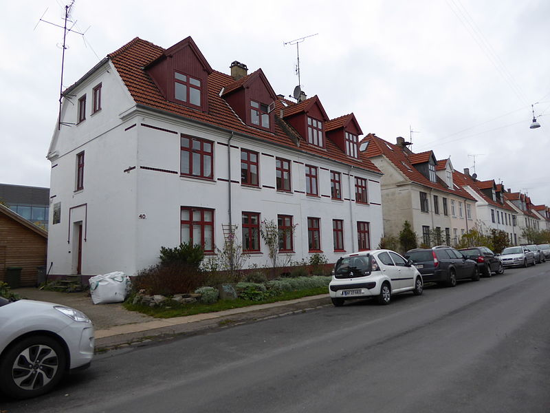
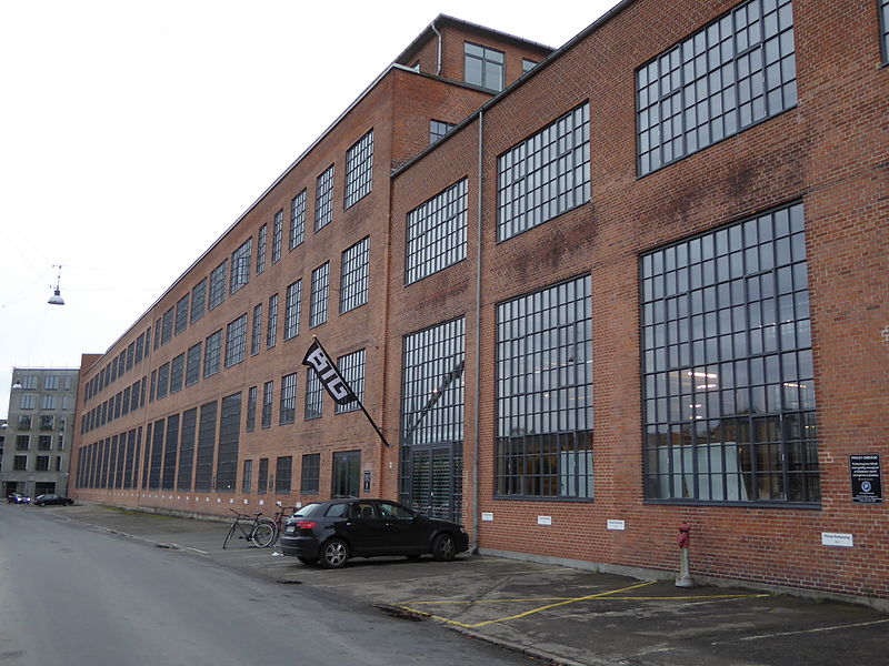
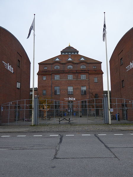
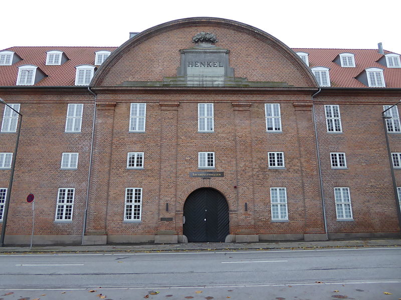
Carl Jacobsens Vej is a street in the Valby district of Copenhagen, Denmark. It runs from Sjælør Boulevard on the rear side of Vestre Cemetery in the east to Gammel Køge Landevej in the wast. The street is lined by a mixture of converted industrial complexes from the beginning of the 20th century, building society developments and modern apartment buildings from the 2010s. ()
Coordinates: 55°39'11"N, 12°31'11"E
Address
Valby (Ellebjerg)Copenhagen
ContactAdd
Social media
Add
Day trips
Carl Jacobsens Vej – popular in the area (distance from the attraction)
Nearby attractions include: Spinderiet, Vestre Cemetery, Cisternerne, Carlsberg Museum.
Frequently Asked Questions (FAQ)
Which popular attractions are close to Carl Jacobsens Vej?
Nearby attractions include Valby-Hallen, Copenhagen (7 min walk), Vestre Cemetery, Copenhagen (14 min walk), Toftegårds Plads, Copenhagen (17 min walk), Vigerslev Allé, Copenhagen (20 min walk).
How to get to Carl Jacobsens Vej by public transport?
The nearest stations to Carl Jacobsens Vej:
Bus
Light rail
Train
Metro
Bus
- Trekronergade • Lines: 7A (2 min walk)
- Ny Ellebjerg st. • Lines: 7A (3 min walk)
Light rail
- Ny Ellebjerg • Lines: A, E, F (5 min walk)
- Sjælør • Lines: A, E (8 min walk)
Train
- Ny Ellebjerg (6 min walk)
- Mozarts Plads (17 min walk)
Metro
- Enghave Plads • Lines: M3 (37 min walk)


 Metro
Metro


