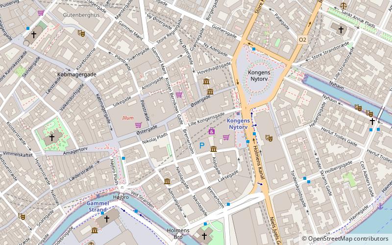
Lille Kongensgade, Copenhagen
Map

Map

Facts and practical information
Lille Kongensgade is a back street located south of and roughly parallel with the Østergade section of Strøget in central Copenhagen, Denmark, linking Kongens Nytorv in the east with Nikolaj Plads in the west. The entire south side of the first part of the street is occupied by the Magasin du Nord department store. ()
Coordinates: 55°40'46"N, 12°34'60"E
Address
Indre By (Strøget)Copenhagen
ContactAdd
Social media
Add
Day trips
Lille Kongensgade – popular in the area (distance from the attraction)
Nearby attractions include: Købmagergade, Jazzhus Montmartre, Karel van Mander House, Charlottenborg Palace.
Frequently Asked Questions (FAQ)
Which popular attractions are close to Lille Kongensgade?
Nearby attractions include Bremerholm, Copenhagen (2 min walk), Svane Apotek, Copenhagen (2 min walk), Ny Østergade, Copenhagen (2 min walk), Vingårdstræde, Copenhagen (2 min walk).
How to get to Lille Kongensgade by public transport?
The nearest stations to Lille Kongensgade:
Metro
Bus
Ferry
Train
Light rail
Metro
- Kongens Nytorv • Lines: M1, M2, M3, M4 (3 min walk)
- Gammel Strand • Lines: M3, M4 (6 min walk)
Bus
- Kongens Nytorv St. • Lines: 23 (3 min walk)
- Holmens Kirke • Lines: 23 (5 min walk)
Ferry
- Knippelsbro • Lines: 991, 992 (10 min walk)
- Nyhavn • Lines: 991, 992 (12 min walk)
Train
- Nørreport (13 min walk)
- Copenhagen Central Station (22 min walk)
Light rail
- Nørreport • Lines: A, B, Bx, C, E, H (14 min walk)
- Vesterport • Lines: A, B, Bx, C, E, H (22 min walk)

 Metro
Metro


