Sankt Peders Stræde, Copenhagen

Gallery (5)
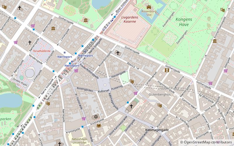
Map

Map

Gallery
Facts and practical information
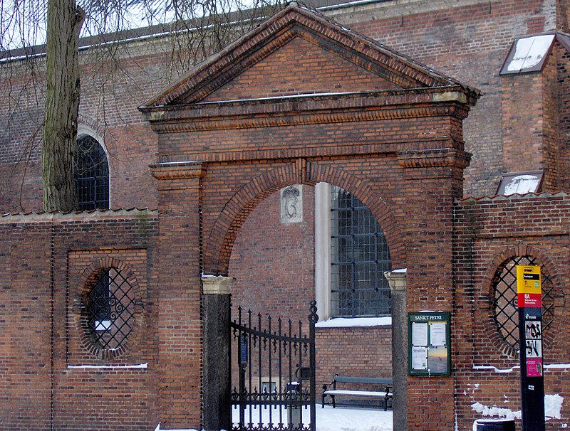
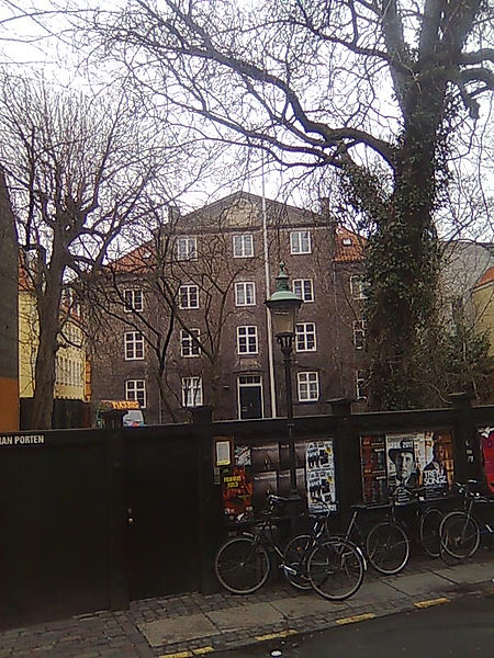
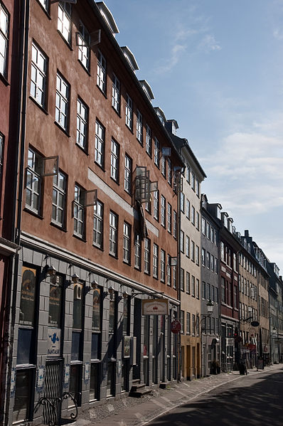
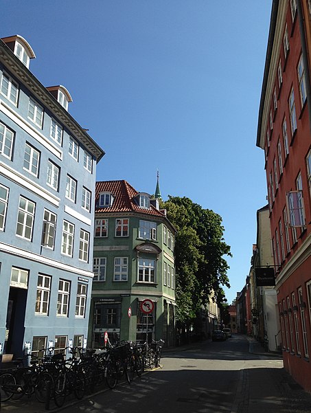
Sankt Peder Stræde is a street in central Copenhagen, Denmark. It runs from Nørregade to Jarmers Plads, crossing Larsbjørnsstræde, Teglgårdsstræde and Larslejsstræde on the way. The eponymous St. Peter's Church is located at the beginning of the street, on the corner with Nørregade. Most of its other buildings date from the years after the Copenhagen Fire of 1795. Part of Copenhagen's Latin Quarter, the street is home to several well-known restaurants and shops. ()
Address
Indre By (Strøget)Copenhagen
ContactAdd
Social media
Add
Getting there by public transportation
Public transportation stops near this location
- Metro
- Bus
- Light rail
- Train
- Ferry
 Metro
Metro
- Calculate routeTeglgårdstræde 3 min walk
- Calculate routeRådhuspladsen St. 6 min walk
- Calculate routeVester Farimagsgade 7 min walk
- Calculate routeNørreport Station 8 min walk
- Calculate routeRådhuspladsen 6 min walk
- Calculate routeNørreport 9 min walk
- Calculate routeGammel Strand 10 min walk
- Calculate routeCopenhagen Central Station 15 min walk
- Calculate routeNørreport 8 min walk
- Calculate routeVesterport 9 min walk
- Calculate routeCopenhagen Central Station 14 min walk
- Calculate routeDybbølsbro 27 min walk
- Calculate routeNørreport 9 min walk
- Calculate routeCopenhagen Central Station 13 min walk
- Calculate routeØsterport 32 min walk
- Calculate routeDet Kongelige Bibliotek 17 min walk
- Calculate routeKnippelsbro 20 min walk
- Calculate routeNyhavn 25 min walk
- Calculate routeOperaen 30 min walk
Maps Metro
Metro
MetroDay trips
Sankt Peders Stræde – popular in the area (distance from the attraction)
Nearby attractions include: Strøget, Købmagergade, Glass Hall, Pantomimeteatret.


Frequently Asked Questions (FAQ)
Which popular attractions are close to Sankt Peders Stræde?
Nearby attractions include Studiestræde, Copenhagen (2 min walk), Larsbjørnsstræde, Copenhagen (2 min walk), Larslejsstræde, Copenhagen (2 min walk), St. Peter's Church, Copenhagen (2 min walk).
How to get to Sankt Peders Stræde by public transport?
The nearest stations to Sankt Peders Stræde:
Bus
Metro
Light rail
Train
Ferry
Bus
- Teglgårdstræde • Lines: 5C (3 min walk)
- Rådhuspladsen St. • Lines: 23, 250S, 2A, 5C (6 min walk)
Metro
- Rådhuspladsen • Lines: M3, M4 (6 min walk)
- Nørreport • Lines: M1, M2 (9 min walk)
Light rail
- Nørreport • Lines: A, B, Bx, C, E, H (8 min walk)
- Vesterport • Lines: A, B, Bx, C, E, H (9 min walk)
Train
- Nørreport (9 min walk)
- Copenhagen Central Station (13 min walk)
Ferry
- Det Kongelige Bibliotek • Lines: 991, 992 (17 min walk)
- Knippelsbro • Lines: 991, 992 (20 min walk)