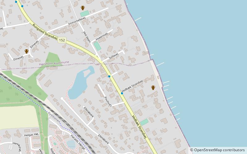
Strandridergaarden, Øresund Coast
Map
Facts and practical information
Strandridergården is a historic country house situated on Vedbæk Strandvej in Vedbæk, Rudersdal Municipality, some 30 km north of Copenhagen, Denmark. It was built in 1895 for vintner Georg Bestle to designs by architect and designer Thorvald Bindesbøll. ()
Coordinates: 55°51'43"N, 12°33'37"E
Address
Øresund Coast
ContactAdd
Social media
Add
Getting there by public transportation
Public transportation stops near this location
- Bus
- Train
 Bus
Bus
- Calculate routePoulsvej 1 min walk
- Calculate routeEllesø Allé 7 min walk
- Calculate routeKong Georgs Vej 9 min walk
- Calculate routeVedbæk Stationsvej 16 min walk
- Calculate routeVedbæk 17 min walk
Day trips


Frequently Asked Questions (FAQ)
How to get to Strandridergaarden by public transport?
The nearest stations to Strandridergaarden:
Bus
Train
Bus
- Poulsvej • Lines: 388 (1 min walk)
- Ellesø Allé • Lines: 388 (7 min walk)
Train
- Vedbæk (17 min walk)