Tårnby, Copenhagen
Map

Map

Facts and practical information
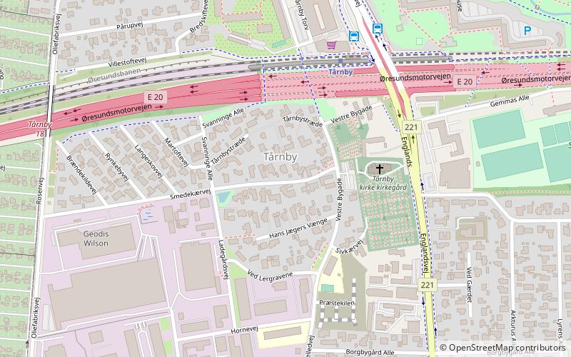
Tårnby is a town in Denmark, the seat of Tårnby Municipality in the Capital Region of Denmark. It is located approximately 6.5 kilometres south of central Copenhagen on the island of Amager. Neighbouring settlements include the Copenhagen suburb of Sundbyvester to the north and Kastrup to the south. Copenhagen Airport is situated to the east of Tårnby. It includes the islets Saltholm and Peberholm. ()
Address
AmagerCopenhagen
ContactAdd
Social media
Add
Day trips
Tårnby – popular in the area (distance from the attraction)
Nearby attractions include: Field's, Royal Arena, VM Houses, Bella Center.
Frequently Asked Questions (FAQ)
Which popular attractions are close to Tårnby?
Nearby attractions include Tårnby Municipality, Copenhagen (10 min walk), VM Houses, Copenhagen (21 min walk), Copenhagen/Amager, Copenhagen (21 min walk), Ørestad, Copenhagen (24 min walk).
How to get to Tårnby by public transport?
The nearest stations to Tårnby:
Train
Bus
Metro
Train
- Tårnby (4 min walk)
- Ørestad (20 min walk)
Bus
- Tårnby St. • Lines: 250S (5 min walk)
- Løjtegårdsvej • Lines: 250S (10 min walk)
Metro
- Ørestad • Lines: M1 (21 min walk)
- Bella Center • Lines: M1 (25 min walk)

 Metro
Metro


