Amager Vest, Copenhagen

Map
Facts and practical information
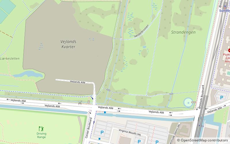
Amager Vest is one of the ten administrative districts of Copenhagen Denmark. It located on in the north-western part of the island of Amager, the largest island in the Øresund. The district is bordered by Amager Øst to the east along Amagerbrogade, the main shopping street and thoroughfare of the part of Copenhagen. Amager Vest is the largest of the ten new official administrative districts of Copenhagen, but has at the same time the smallest population. Only the most northern part can be considered as "urban area". ()
Address
Amager Vest (Faste Batteris)Copenhagen
ContactAdd
Social media
Add
Day trips
Amager Vest – popular in the area (distance from the attraction)
Nearby attractions include: Field's, DieselHouse, DR Koncerthuset, Royal Arena.
Frequently Asked Questions (FAQ)
Which popular attractions are close to Amager Vest?
Nearby attractions include Bella Center, Copenhagen (9 min walk), Vestamager, Copenhagen (14 min walk), Amager Common, Copenhagen (14 min walk), VM Houses, Copenhagen (16 min walk).
How to get to Amager Vest by public transport?
The nearest stations to Amager Vest:
Bus
Metro
Train
Ferry
Bus
- Vandrerhjem • Lines: 18, 77 (4 min walk)
- Bella Center St. • Lines: 18, 77 (9 min walk)
Metro
- Bella Center • Lines: M1 (10 min walk)
- Sundby • Lines: M1 (10 min walk)
Train
- Ørestad (25 min walk)
- Enghave Brygge (29 min walk)
Ferry
- Teglholmen • Lines: 991, 992 (28 min walk)
 Metro
Metro


