Gothersgade, Copenhagen
Map

Gallery

Facts and practical information
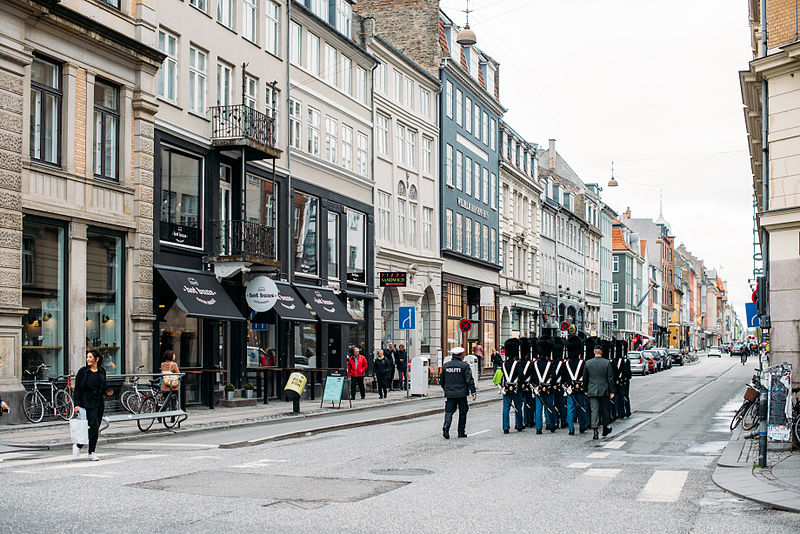
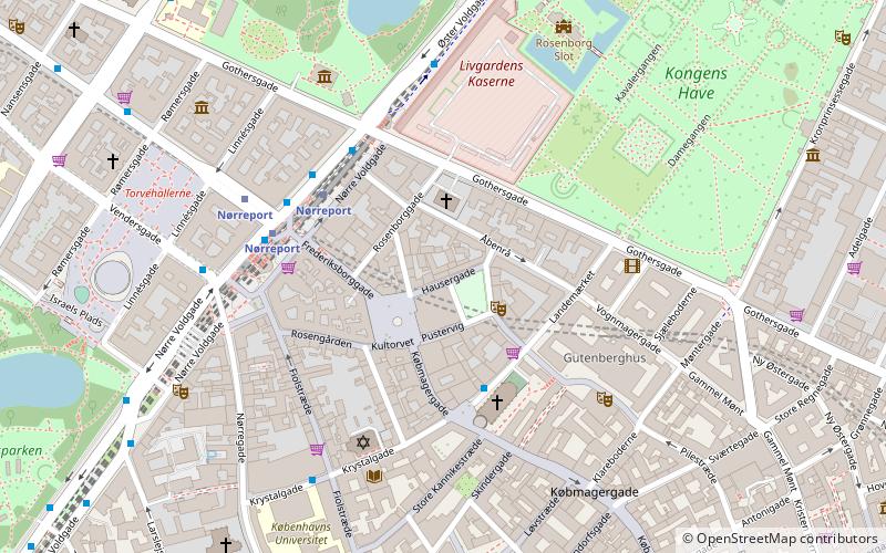
Gothersgade is a major street in the City Centre of Copenhagen, Denmark. It extends from Kongens Nytorv to Sortedam Lake, passing Rosenborg Castle and Gardens, Nørreport Station and Copenhagen Botanic Gardens on the way. ()
Address
Indre By (Kongens Haves)Copenhagen
ContactAdd
Social media
Add
Day trips
Gothersgade – popular in the area (distance from the attraction)
Nearby attractions include: Strøget, Rosenborg, Købmagergade, Jazzhus Montmartre.
Frequently Asked Questions (FAQ)
Which popular attractions are close to Gothersgade?
Nearby attractions include Hauser Plads, Copenhagen (2 min walk), Landemærket, Copenhagen (2 min walk), Café Teatret, Copenhagen (3 min walk), Vognmagergade, Copenhagen (3 min walk).
How to get to Gothersgade by public transport?
The nearest stations to Gothersgade:
Train
Bus
Light rail
Metro
Ferry
Train
- Nørreport (5 min walk)
- Østerport (21 min walk)
Bus
- Nørreport St. • Lines: 14, 150S, 15E, 184, 185, 350S, 5C, 6A (6 min walk)
- Nørreport Station • Lines: 5C (6 min walk)
Light rail
- Nørreport • Lines: A, B, Bx, C, E, H (6 min walk)
- Østerport • Lines: A, B, Bx, C, E, H (19 min walk)
Metro
- Nørreport • Lines: M1, M2 (7 min walk)
- Kongens Nytorv • Lines: M1, M2, M3, M4 (11 min walk)
Ferry
- Nyhavn • Lines: 991, 992 (19 min walk)
- Knippelsbro • Lines: 991, 992 (19 min walk)

 Metro
Metro


