National Unity Bridge, Guayaquil

Facts and practical information
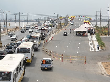
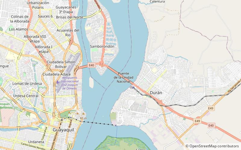
The National Unity Bridge, also known as the Puente de la Unidad Nacional, is a prominent feature of the cityscape of Guayaquil, Ecuador. This impressive structure serves as a vital artery connecting the city to the rest of the country and symbolizes the progress and connectivity of the nation. Spanning the majestic Daule and Babahoyo rivers, which converge to form the Guayas River, the bridge is an engineering marvel and a testament to modern construction.
Completed in 1970, the National Unity Bridge was designed to improve the flow of traffic and boost the economic development of the region. It consists of four distinct spans: the February 24th Bridge, the National Unity Bridge, the Victory Bridge, and the San Jacinto Bridge. Together, they stretch across a considerable distance, making it one of the longest bridge complexes in South America.
With its strategic importance, the bridge has facilitated the movement of goods and people, significantly contributing to the prosperity of Guayaquil, often referred to as the economic capital of Ecuador. The National Unity Bridge has also become a beloved landmark for locals and visitors alike, offering a panoramic view of the river and the city.
The bridge's robust structure is designed to withstand the test of time and the heavy traffic that passes over it daily. It is a critical part of the country's infrastructure, enabling efficient transportation between the coastal regions and the interior of Ecuador.
Guayaquil
National Unity Bridge – popular in the area (distance from the attraction)
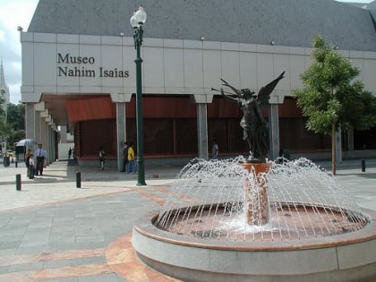
Nearby attractions include: Santa Ana Hill, Museo Antropologico y de Arte Contemporaneo, Pedro Carbo, Museo Nahim Isaias.
Frequently Asked Questions (FAQ)
How to get to National Unity Bridge by public transport?
Train
- Durán (19 min walk)
