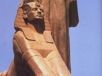
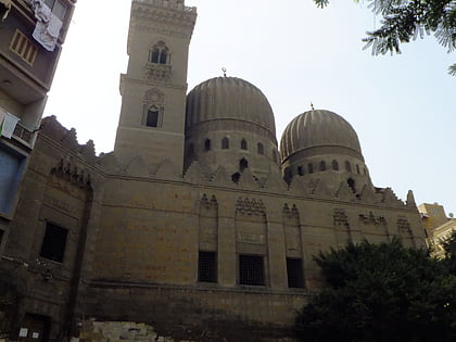
Prince Amr Ibrahim Palace, Cairo
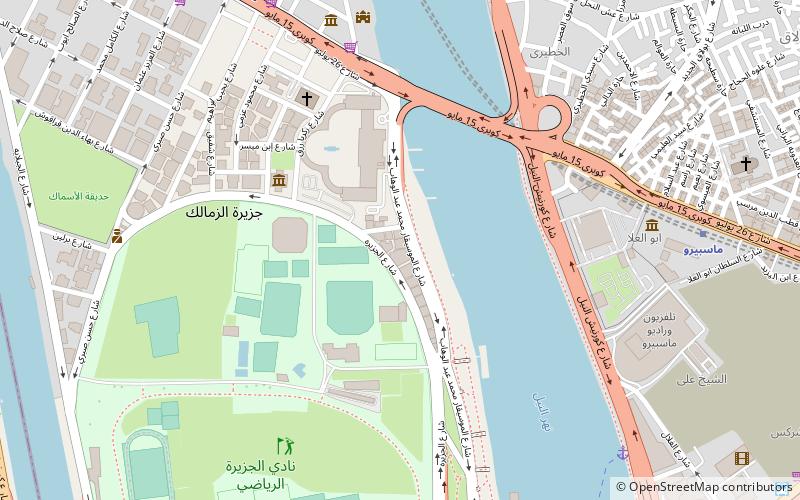
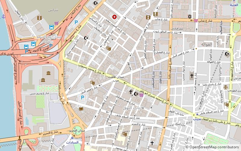
Map
Facts and practical information
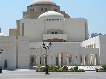
The Prince Amr Ibrahim Palace is a historical building in Cairo's Zamalek island, which is used as the Egypt's first ceramics museum, the Museum of Islamic Ceramics and as an art center. ()
Coordinates: 30°3'19"N, 31°13'33"E
Address
Cairo
ContactAdd
Social media
Add
Day trips
Prince Amr Ibrahim Palace – popular in the area (distance from the attraction)
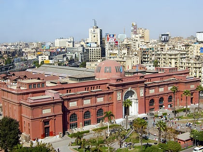
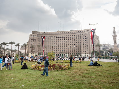
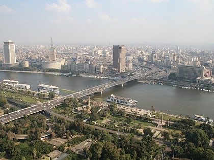
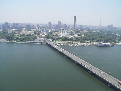
Nearby attractions include: Egyptian Museum, Tahrir Square, Cairo Tower, 6th October Bridge.
Frequently Asked Questions (FAQ)
Which popular attractions are close to Prince Amr Ibrahim Palace?
Nearby attractions include Prince Amr Ibrahim Palace, Cairo (1 min walk), Gezirah Palace, Cairo (4 min walk), All Saints' Cathedral, Cairo (6 min walk), Tomb of Salar and Sangar-al-Gawli, Cairo (7 min walk).
How to get to Prince Amr Ibrahim Palace by public transport?
The nearest stations to Prince Amr Ibrahim Palace:
Bus
Metro
Train
Bus
- Abd el Moniem Riad (16 min walk)
- Turgoman Bus Station (20 min walk)
Metro
- Nasser • Lines: 1 (21 min walk)
- Opera • Lines: 2 (24 min walk)
Train
- Orabi (27 min walk)
