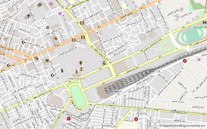
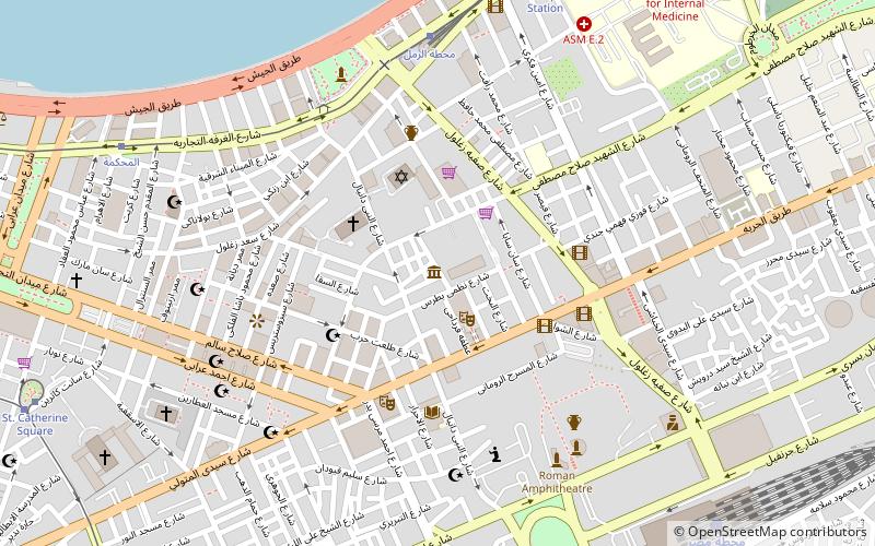
Tahrir Square, Alexandria
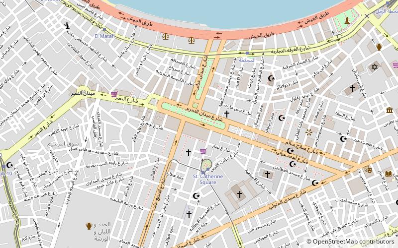
Map
Facts and practical information
Tahrir Square Alexandria is a public town square in Alexandria, northern Egypt. ()
Coordinates: 31°11'50"N, 29°53'35"E
Address
Alexandria
ContactAdd
Social media
Add
Getting there by public transportation
Public transportation stops near this location
- Bus
- Tram
- Train
 Bus
Bus
- Calculate routeSt. Catherine Square 4 min walk
- Calculate routeCatherine 4 min walk
- Calculate routeEl Mahkama 6 min walk
- Calculate routeEl Matafi 9 min walk
- Calculate routeمحطة الرمل 14 min walk
- Calculate routeAl-Anfushi Bus Station 27 min walk
- Calculate routeMasr station 22 min walk
Day trips


Frequently Asked Questions (FAQ)
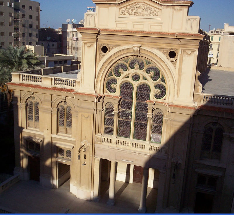
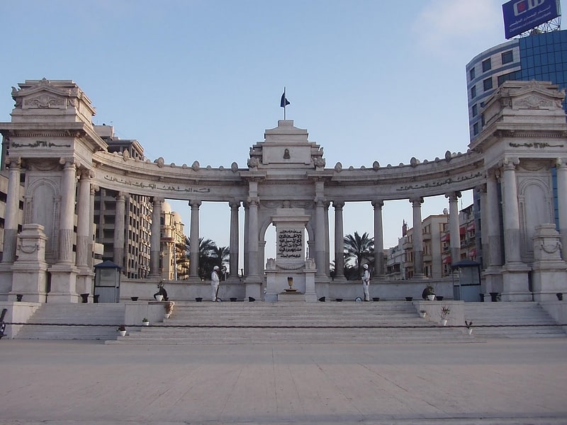
Which popular attractions are close to Tahrir Square?
Nearby attractions include El Mansheya, Alexandria (2 min walk), Greek Orthodox Church of Alexandria, Alexandria (3 min walk), Menasce Synagogue, Alexandria (3 min walk), Alexandria Naval Unknown Soldier Memorial, Alexandria (5 min walk).
How to get to Tahrir Square by public transport?
The nearest stations to Tahrir Square:
Tram
Bus
Train
Tram
- St. Catherine Square (4 min walk)
- Catherine (4 min walk)
Bus
- محطة الرمل (14 min walk)
- Al-Anfushi Bus Station (27 min walk)
Train
- Masr station (22 min walk)