Damietta Port, Dumyat

Map
Facts and practical information
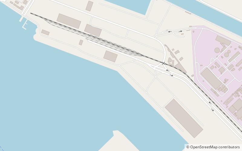
Egypt's Damietta Port is located 10 km west of the Nile river of Damietta branch westward Ras El-Bar, 70 km to the west of Port Said and 200 km from Alexandria Port. The port installations extend on an area of 11.8 km2. The port is bordered by an imaginary line connecting the eastern and western external breakwaters. ()
Address
Dumyat
ContactAdd
Social media
Add
Day trips
Damietta Port – popular in the area (distance from the attraction)
Nearby attractions include: Ras El Bar, New Damietta.

