Alexandria Port, Alexandria
Map
Map

Facts and practical information
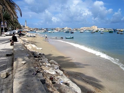
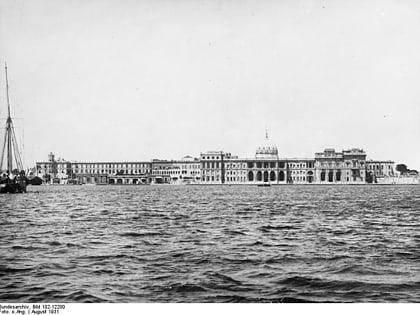
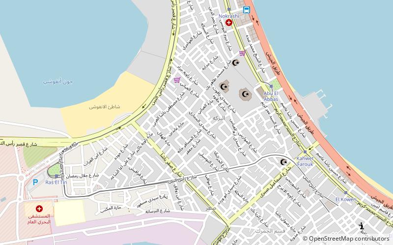
The Port of Alexandria is on the West Verge of the Nile Delta between the Mediterranean Sea and Mariut Lake in Alexandria, Egypt, and is considered the second most important city and the main port in Egypt. Alexandria port consists of two harbours separated by a T-shaped peninsula. The East harbour is shallow and is not navigable by large vessels. The West harbour is used for commercial shipping. The harbour is formed by two converging breakwaters. ()
Day trips
Alexandria Port – popular in the area (distance from the attraction)
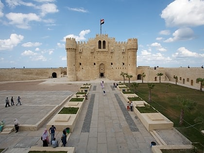
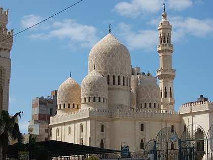
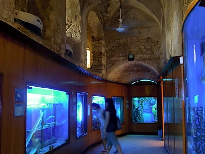
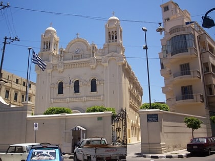
Nearby attractions include: Citadel of Qaitbay, Abu al-Abbas al-Mursi Mosque, Alexandria Aquarium, Greek Orthodox Church of Alexandria.
Frequently Asked Questions (FAQ)
Which popular attractions are close to Alexandria Port?
Nearby attractions include Abu al-Abbas al-Mursi Mosque, Alexandria (4 min walk), Safar, Alexandria (6 min walk), Anfoushi, Alexandria (9 min walk), Alexandria Aquarium, Alexandria (17 min walk).
How to get to Alexandria Port by public transport?
The nearest stations to Alexandria Port:
Tram
Bus
Tram
- Abu El Abbas (6 min walk)
- Kahwet Farouk (8 min walk)
Bus
- Al-Anfushi Bus Station (9 min walk)
