Cairo/Ma'adi, Cairo
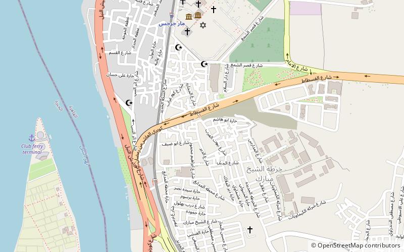
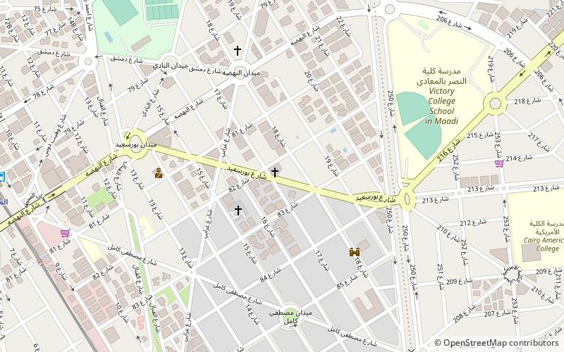
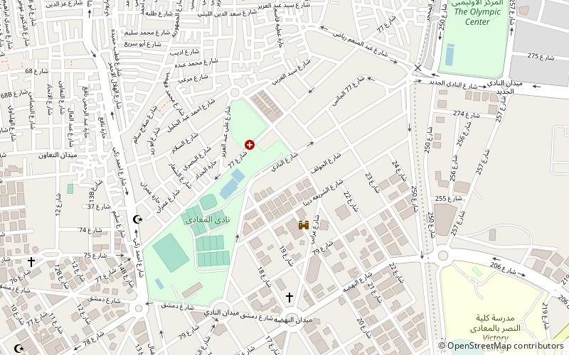
Map
Gallery
Facts and practical information
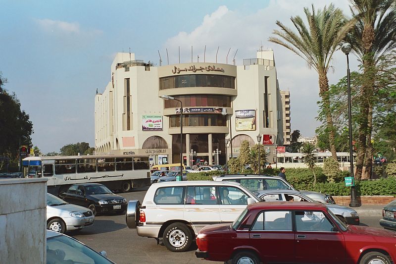
Maadi is a leafy suburban district south of Cairo, Egypt, on the east bank of the Nile about 12 kilometers upriver from downtown Cairo. The Nile at Maadi is parallelled by the Corniche, a waterfront promenade and the main road north into Cairo. There is no bridge across the Nile at Maadi; the nearest one is located at El Mounib along the Ring Road on the way north to the downtown. ()
Address
Cairo
ContactAdd
Social media
Add
Day trips
Cairo/Ma'adi – popular in the area (distance from the attraction)
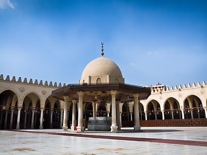
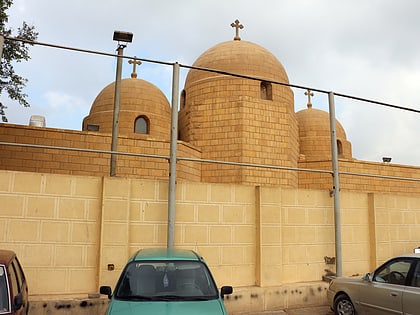
Nearby attractions include: Babylon Fortress, Coptic Museum, Hanging Church, Mosque of Amr ibn al-As.
Frequently Asked Questions (FAQ)
Which popular attractions are close to Cairo/Ma'adi?
Nearby attractions include Maadi Community Church, Cairo (12 min walk), Maadi Library, Cairo (14 min walk).
How to get to Cairo/Ma'adi by public transport?
The nearest stations to Cairo/Ma'adi:
Metro
Metro
- Maadi • Lines: 1 (17 min walk)
- Maadi Gardens • Lines: 1 (24 min walk)


