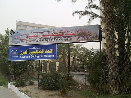
Egyptian Geological Museum, Cairo
Map
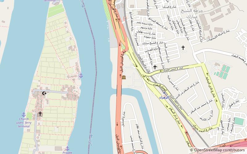
Map

Facts and practical information
The Egyptian Geological Museum is a museum in Cairo, Egypt. The museum was established in 1904 as part of the Egyptian Geological Survey, which had been started in 1896 under the direction of the Khedive Ismail. The museum was the first of its kind in the Middle East and the African continent. ()
Local name: المتحف الجيولوجي المصريEstablished: 1901 (125 years ago)Coordinates: 29°59'46"N, 31°13'43"E
Day trips
Egyptian Geological Museum – popular in the area (distance from the attraction)
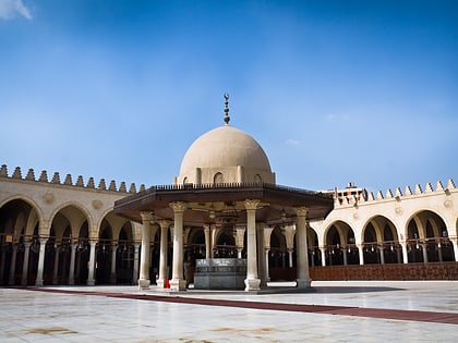
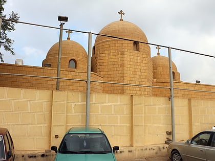
Nearby attractions include: Babylon Fortress, Coptic Museum, Hanging Church, Mosque of Amr ibn al-As.
Frequently Asked Questions (FAQ)
Which popular attractions are close to Egyptian Geological Museum?
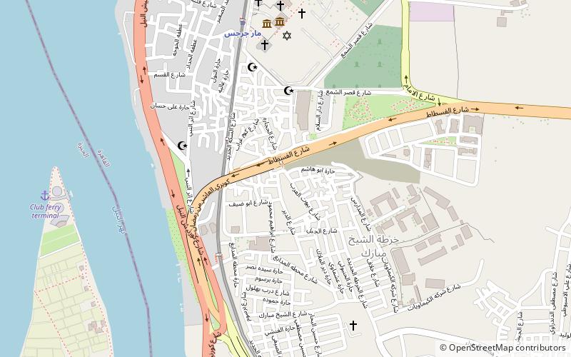
Nearby attractions include Fustat, Cairo (10 min walk), Church of the Holy Virgin, Cairo (11 min walk), Darb 1718, Cairo (13 min walk), Hanging Church, Cairo (17 min walk).
How to get to Egyptian Geological Museum by public transport?
The nearest stations to Egyptian Geological Museum:
Metro
Bus
Train
Metro
- Al-Zahraa • Lines: 1 (5 min walk)
- Mar Girgis • Lines: 1 (18 min walk)
Bus
- Athar an Nabi (16 min walk)
- Amr Ibn Al-Aas (24 min walk)
Train
- Moneeb Metro Station (37 min walk)
