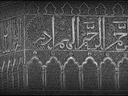
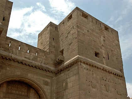
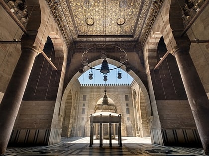
Mosque-Sabil of Sulayman Agha al-Silahdar, Cairo
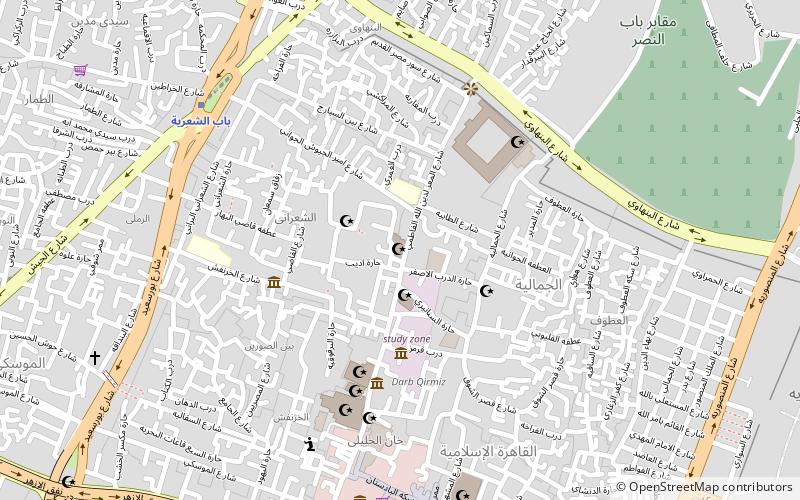
Map
Gallery
Facts and practical information
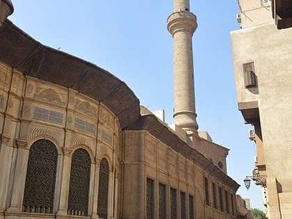
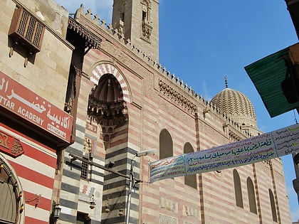
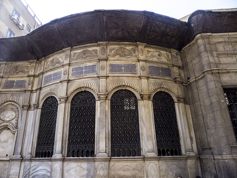
Mosque-Sabil of Sulayman Agha al-Silahdar or Mosque-Sabil-Kuttab of Sulayman Agha al-Silahdar is a complex of mosque, sabil and kuttab established during the era of Muhammad Ali Pasha in Islamic Cairo, the historic medieval district of Cairo, Egypt. It is located at the beginning of Burjouan alley of the famed Muizz Street. On the other side it faces the extension of Al-Nahasin Street leading to the Bab Al-Shaareya square. ()
Coordinates: 30°3'9"N, 31°15'43"E
Address
باب الناصر (bab alnasr)Cairo
ContactAdd
Social media
Add
Day trips
Mosque-Sabil of Sulayman Agha al-Silahdar – popular in the area (distance from the attraction)
Nearby attractions include: Khan el-Khalili, Al-Azhar Mosque, Islamic Cairo, Bayt Al-Suhaymi.
Frequently Asked Questions (FAQ)
Which popular attractions are close to Mosque-Sabil of Sulayman Agha al-Silahdar?
Nearby attractions include Bayt Al-Suhaymi, Cairo (2 min walk), Aqmar Mosque, Cairo (2 min walk), Maimonides Synagogue, Cairo (3 min walk), Beshtak Palace, Cairo (4 min walk).
How to get to Mosque-Sabil of Sulayman Agha al-Silahdar by public transport?
The nearest stations to Mosque-Sabil of Sulayman Agha al-Silahdar:
Metro
Train
Bus
Metro
- Bab el Shaaria • Lines: 3 (9 min walk)
- El Geish • Lines: 3 (20 min walk)
Train
- Ramses Station (31 min walk)
- Orabi (31 min walk)
Bus
- High Jet (32 min walk)
- Ahmed Helmy Bus Station (32 min walk)
