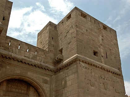
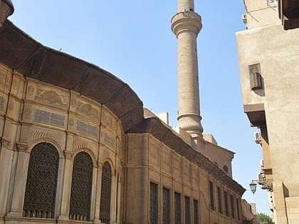
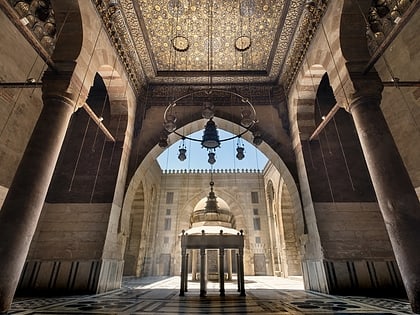
Qalawun complex, Cairo
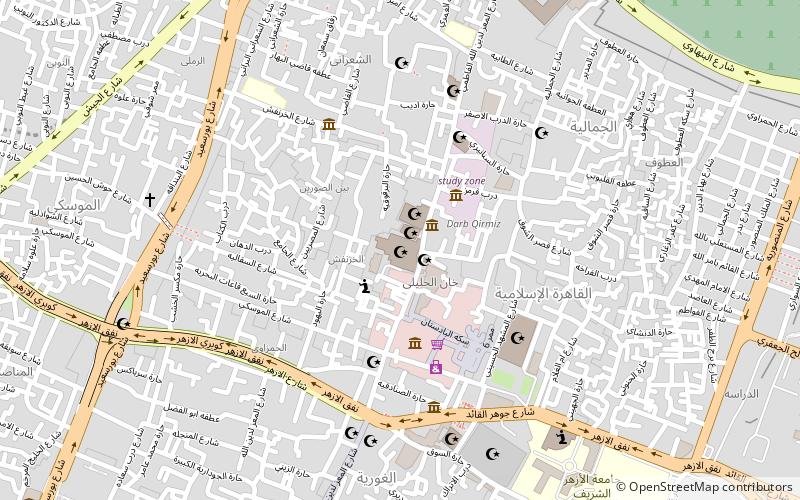
Map
Gallery
Facts and practical information
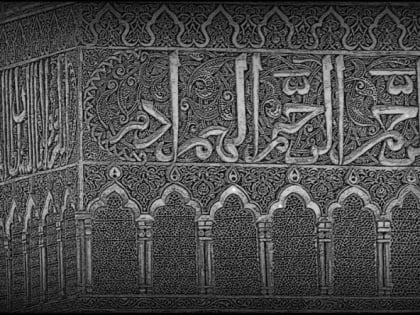
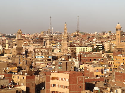
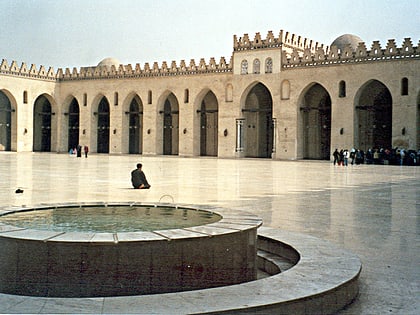
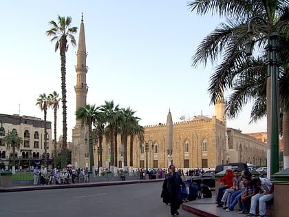
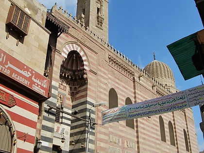
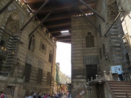
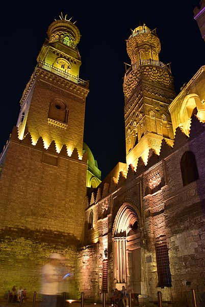
The Qalawun complex is a massive complex in Cairo, Egypt, built by Sultan al-Mansur Qalawun in 1284–1285. It is located at Bayn al-Qasrayn on al-Mu'izz street and includes a hospital, a madrasa and his mausoleum. It is widely regarded as one of the major monuments of Islamic Cairo and of Mamluk architecture, notable for the size and scope of its charitable operations as well as for the richness of its architecture. ()
Local name: مسجد ومدرسة السلطان الناصر محمد Completed: 1285 (741 years ago)Coordinates: 30°2'58"N, 31°15'39"E
Address
El Moez Ldeen Allah St. - Al Azharالقاهرة الإسلامية (الجمالية)Cairo
ContactAdd
Social media
Add
Day trips
Qalawun complex – popular in the area (distance from the attraction)
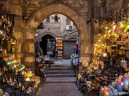
Nearby attractions include: Khan el-Khalili, Al-Azhar Mosque, Islamic Cairo, Bayt Al-Suhaymi.
Frequently Asked Questions (FAQ)
Which popular attractions are close to Qalawun complex?
Nearby attractions include Mosque-Madrasa of Sultan Barquq, Cairo (2 min walk), Madrasa of Al-Nasir Muhammad, Cairo (2 min walk), El Sakkakini, Cairo (2 min walk), Hammam of Sultan Inal, Cairo (2 min walk).
How to get to Qalawun complex by public transport?
The nearest stations to Qalawun complex:
Metro
Train
Bus
Metro
- Bab el Shaaria • Lines: 3 (11 min walk)
- Attaba • Lines: 2, 3 (20 min walk)
Train
- Orabi (32 min walk)
- Ramses Station (33 min walk)
Bus
- High Jet (35 min walk)
- Suez & Sinai Bus Station (34 min walk)
