Playa El Zacatillo, Acajutla
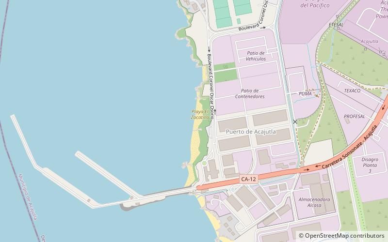
Map
Facts and practical information
Playa El Zacatillo is a place located in Acajutla (Sonsonate department) and belongs to the category of beach.
It is situated at an altitude of 7 feet, and its geographical coordinates are 13°34'39"N latitude and 89°50'3"W longitude.
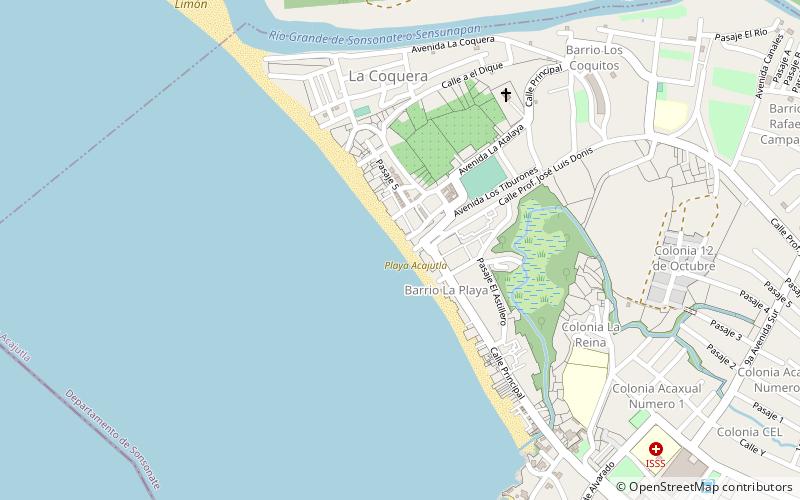
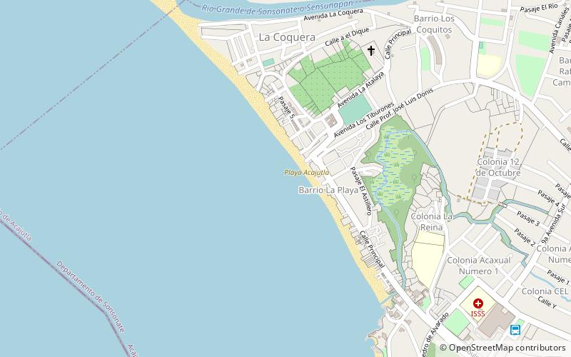
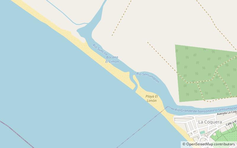
Among other places and attractions worth visiting in the area are: Edificio del Muelle Antiguo (ruins, 32 min walk), Playa Acajutla (beach, 32 min walk), Playa El Limón (beach, 47 min walk).
Coordinates: 13°34'39"N, 89°50'3"W
Address
Acajutla
ContactAdd
Social media
Add
Day trips