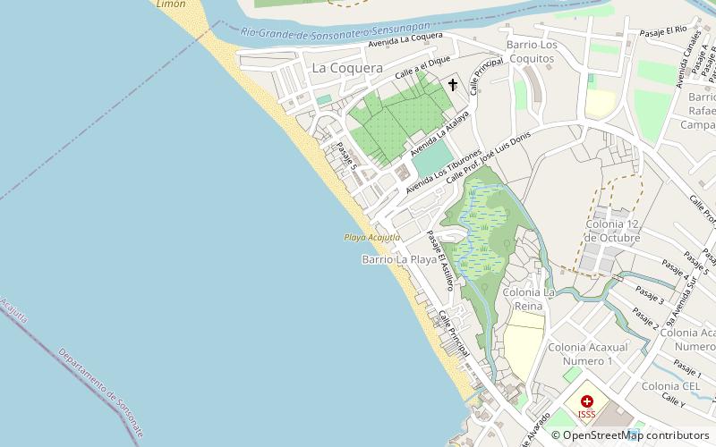
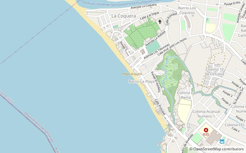
Playa Acajutla, Acajutla
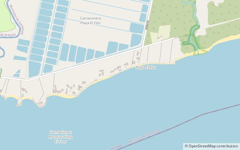
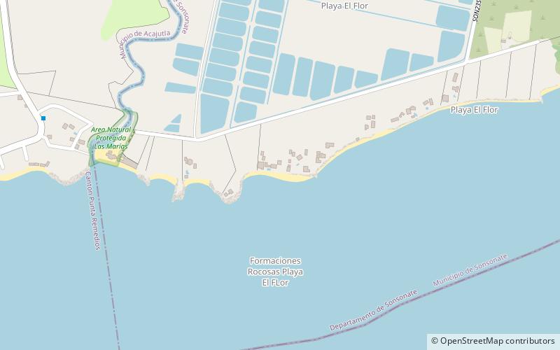
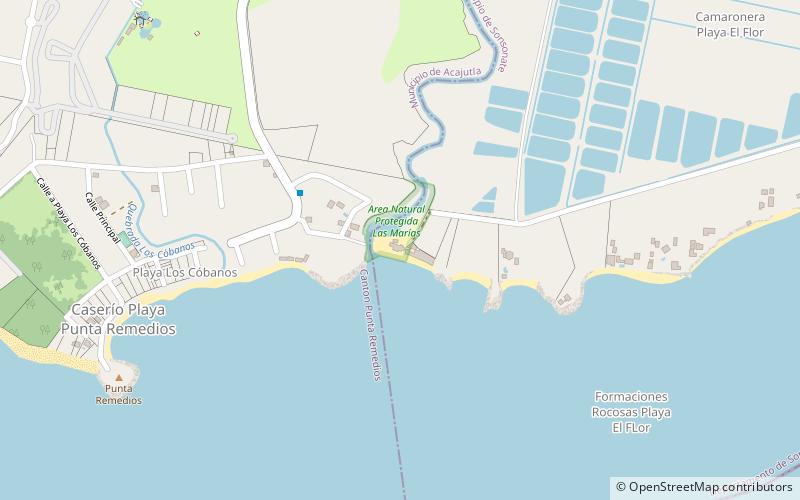
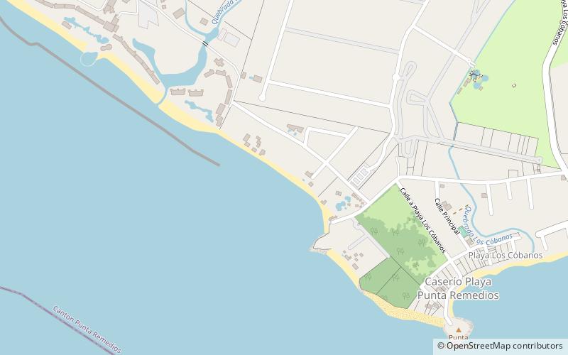
Map
Facts and practical information
Playa Acajutla is a place located in Acajutla (Sonsonate department) and belongs to the category of beach.
It is situated at an altitude of 7 feet, and its geographical coordinates are 13°35'43"N latitude and 89°50'13"W longitude.
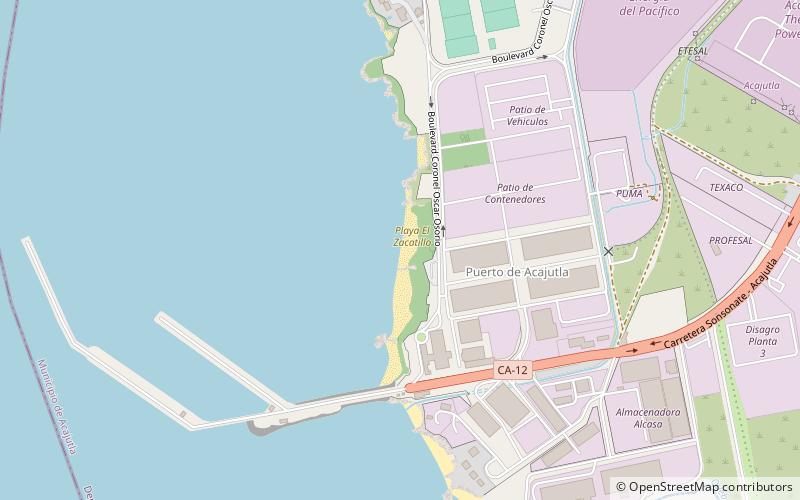
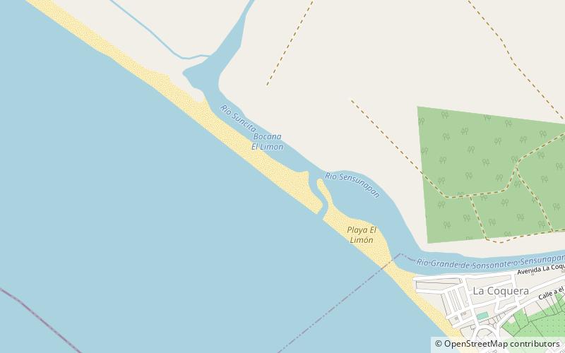
Among other places and attractions worth visiting in the area are: Edificio del Muelle Antiguo (ruins, 2 min walk), Playa El Limón (beach, 18 min walk), Playa El Zacatillo (beach, 32 min walk).
Coordinates: 13°35'43"N, 89°50'13"W
Address
Acajutla
ContactAdd
Social media
Add
Day trips
Frequently Asked Questions (FAQ)
Which popular attractions are close to Playa Acajutla?
Nearby attractions include Edificio del Muelle Antiguo, Acajutla (2 min walk), Playa El Limón, Acajutla (18 min walk).