Gjógvaráfjall, Eysturoy
Map
Map

Facts and practical information
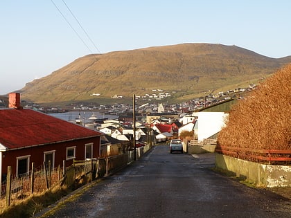
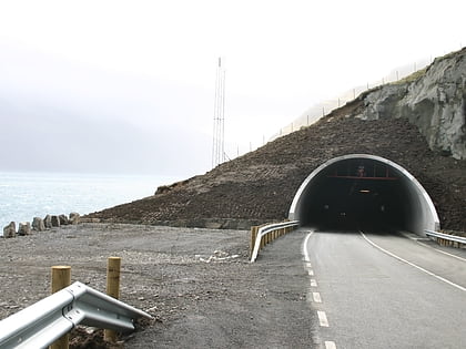
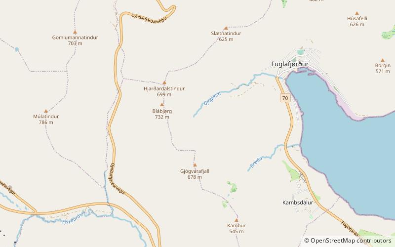
Gjógvaráfjall is a 345-metre-high mountain overlooking the village of Vágur. The mountain is located north of Vágseiði in the western part of the village. Some of the houses in Vágur are located on Gjógavaráfjall. A little river is named after the mountain, it is called Gjógvará. "Á" in Faroese means 'river'. "Gjógv" is the Faroese word for 'gorge'. ()
Address
Eysturoy
ContactAdd
Social media
Add
Day trips
Gjógvaráfjall – popular in the area (distance from the attraction)
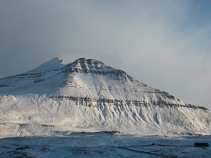
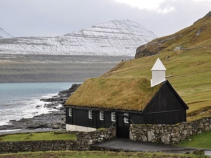
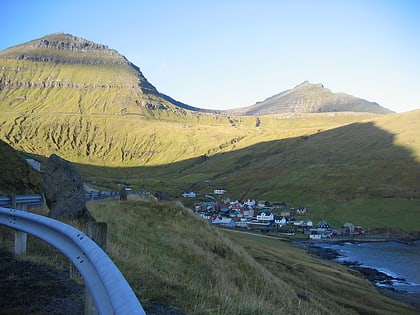
Nearby attractions include: Slættaratindur, Funningur Church, Streymin Bridge, Gráfelli.
