Oyndarfjørður
#38 among destinations in Faroe Islands
Facts and practical information
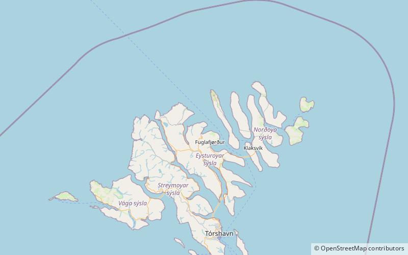
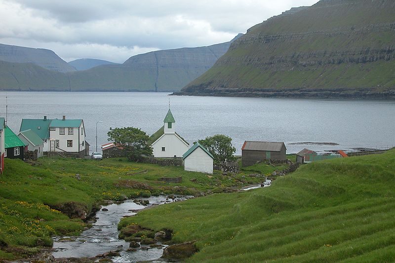
Oyndarfjørður is a village on the northeastern coast of the Faroese island of Eysturoy in the Runavíkar municipality. ()
EysturoyarFaroe Islands
Oyndarfjørður – popular in the area (distance from the attraction)
Nearby attractions include: Slættaratindur, Funningur Church, Streymin Bridge, Gjógvaráfjall.
 Faroe Islands' highest peak, with hiking
Slættaratindur, Eysturoy
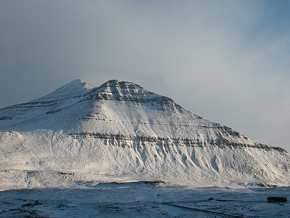
137 min walk • Slættaratindur is the highest mountain in the Faroe Islands, at an elevation of 880 metres. It is located in the northern part of Eysturoy, between the villages of Eiði, Gjógv, and Funningur. Funningur lies at the foot of the mountain, however, the summit is not visible from the village.
 Church
Funningur Church, Eysturoy
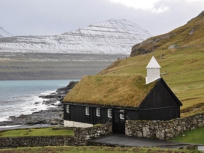
96 min walk • Funninger Church, in the village of Funningur, is one of the 10 old wooden churches in the Faroe Islands. It was inaugurated on 30 November 1847 and is for that reason the newest of the old traditional wooden churches. Porkeri Church was also inaugurated in 1847 but a few months beforehand.
 Bridge
Streymin Bridge
177 min walk • The Streymin Bridge, is an important highway bridge in the Faroe Islands. It connects the two biggest and most populous islands of Streymoy to the west and Eysturoy to the east.
 Nature, Natural attraction, Mountain
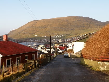
Gjógvaráfjall, Eysturoy
80 min walk • Gjógvaráfjall is a 345-metre-high mountain overlooking the village of Vágur. The mountain is located north of Vágseiði in the western part of the village. Some of the houses in Vágur are located on Gjógavaráfjall.
 Nature, Natural attraction, Mountain
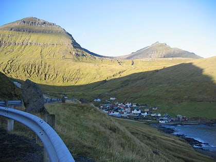
Gráfelli, Eysturoy
128 min walk • Gráfelli is the second highest mountain of the Faroe Islands located on the island of Eysturoy. It has an elevation of 856 metres. Slættaratindur just south-east of the mountain is 24 metres higher at 880 metres, the highest point of the Faroes. Funningur lies at the foot of both Slættaratindur and Gráfelli.
 Village
Gjógv
113 min walk • One of the most iconic attractions in Gjógv is the Gjógv sea-filled gorge itself, which is a must-see for visitors seeking breathtaking natural beauty. The gorge is surrounded by steep cliffs and offers stunning views of the North Atlantic Ocean, making it a popular...
 Tunnel
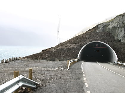
Norðoyatunnilin, Eysturoy
186 min walk • Norðoyatunnilin is a two-lane road tunnel under the Leirvíksfjørður in the Faroe Islands. It connects the islands of Eysturoy and Borðoy. The tunnel is 6.2 km long and goes down to a depth of 150 metres below sea level. The maximum gradient is approximately 6 percent.
 Island
Kalsoy
104 min walk • Kalsoy is a hidden gem in the Norderøerne region of the Faroe Islands, offering a unique blend of natural beauty and traditional Faroese culture. This narrow, rugged island is known for its steep cliffs, lush valleys, and picturesque villages, making it a paradise for...
 Sport, Arenas and stadiums, Sport venue
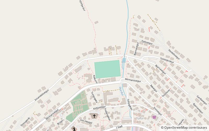
Fuglafjørður Stadium, Fuglafjørður
67 min walk • Í Fløtugerði is a football stadium in Fuglafjørður, Faroe Islands. It is currently the home ground of ÍF Fuglafjørður. Its capacity is 1,200, including 360 seats.
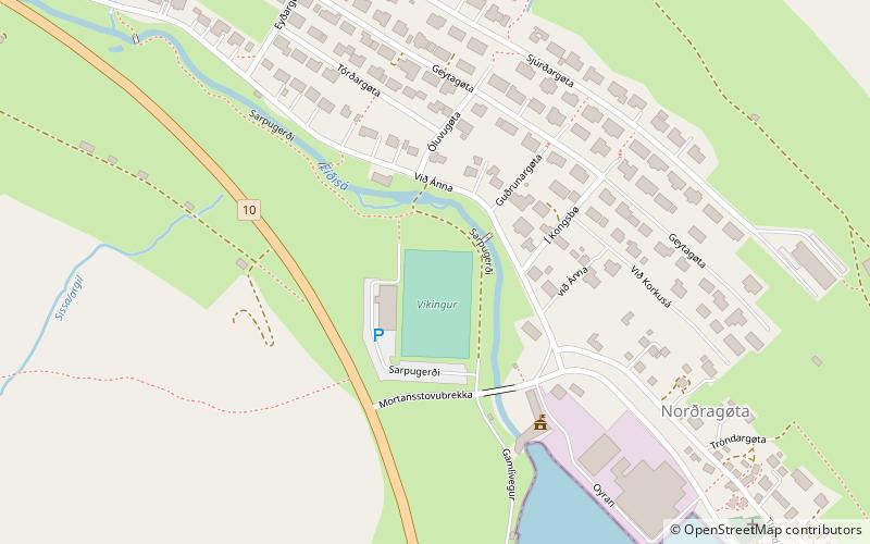 Arenas and stadiums, Sport venue, Sport
Sarpugerði, Eysturoy
164 min walk • Sarpugerði is a stadium in Norðragøta, Faroe Islands. It is currently used mostly for football matches and is the home ground of Víkingur Gøta and has a capacity of 1,600.
