Norðoyatunnilin, Eysturoy
Map
Gallery
Facts and practical information
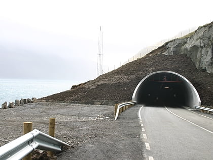
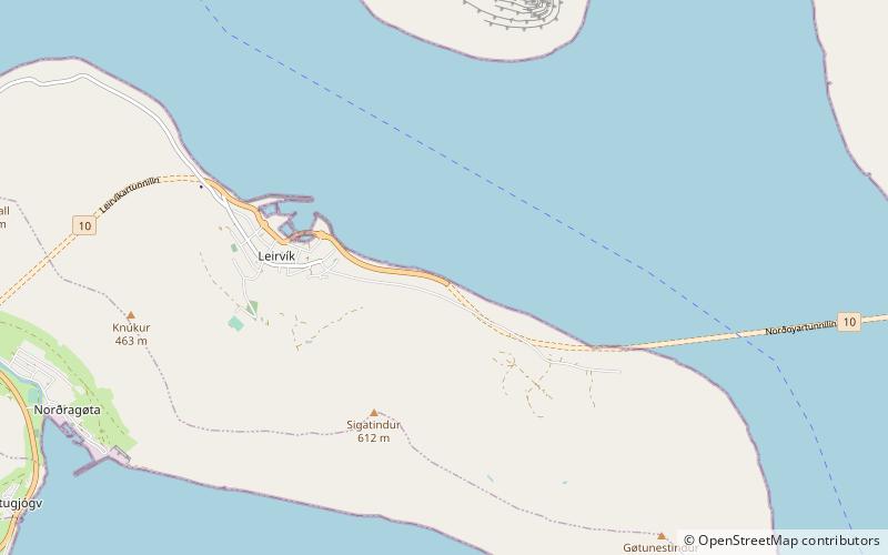
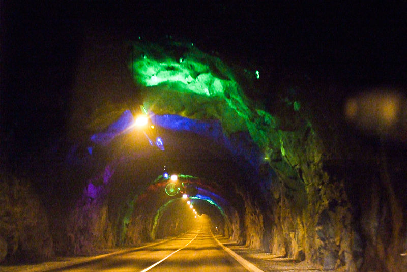
Norðoyatunnilin is a two-lane road tunnel under the Leirvíksfjørður in the Faroe Islands. It connects the islands of Eysturoy and Borðoy. The tunnel is 6.2 km long and goes down to a depth of 150 metres below sea level. The maximum gradient is approximately 6 percent. The tunnel entrances are near the towns of Leirvík on Eysturoy, and Klaksvík on Borðoy. Until the Eysturoyartunnilin opened in December 2020, Norðoyatunnilin was the longest tunnel in the Faroe Islands. ()
Address
Eysturoy
ContactAdd
Social media
Add
Day trips
Norðoyatunnilin – popular in the area (distance from the attraction)
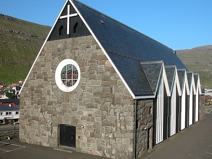
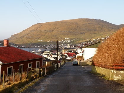
Nearby attractions include: Christianskirkjan, Norðoyar, Gjógvaráfjall, Skálafjørður.
