VII District, Turku
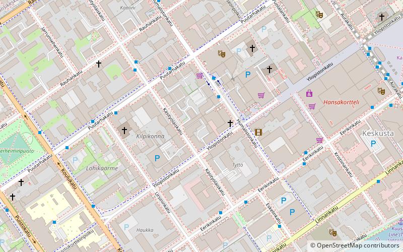
Map
Facts and practical information
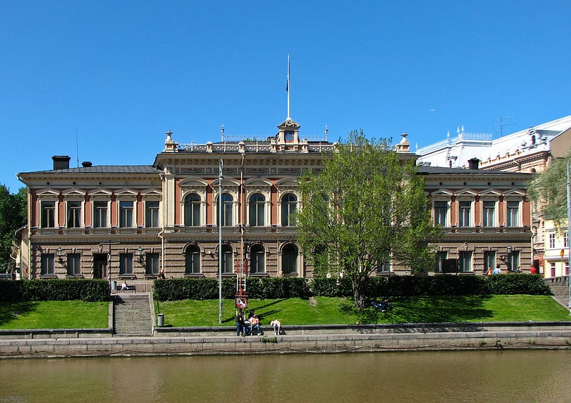
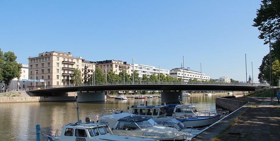
The VII District is one of the central districts of Turku, Finland. It is located on the west side of the river Aura, between Aurakatu and Puistokatu. Like the neighbouring VI District, it forms part of the city's central business district. The two districts combined host a large proportion of the city's business life, particularly around the Market Square. Turku City Hall is located in the VII District, as well as the Turku Central Railway Station. ()
Address
Keskusta (VII kaupunginosa)Turku
ContactAdd
Social media
Add
Getting there by public transportation
Public transportation stops near this location
- Bus
- Train
- Ferry
 Bus
Bus
- Calculate routePuutarhakatu 2 min walk
- Calculate routeHumalistonkatu 3 min walk
- Calculate routeUrsininkatu 4 min walk
- Calculate routeKela 4 min walk
- Calculate routeTurku 9 min walk
- Calculate routeVesibussi, Martinsilta 11 min walk
Day trips


Frequently Asked Questions (FAQ)
Which popular attractions are close to VII District?
Nearby attractions include Lapset, Turku (2 min walk), St. Bridget and Blessed Hemming Church, Turku (3 min walk), Betel Church, Turku (4 min walk), Turku Orthodox Church, Turku (7 min walk).
How to get to VII District by public transport?
The nearest stations to VII District:
Bus
Train
Ferry
Bus
- Puutarhakatu • Lines: 12, 201, 203, 220, 221, 31, 32, 42, P3 (2 min walk)
- Humalistonkatu • Lines: 12, 221, 31 (3 min walk)
Train
- Turku (9 min walk)
Ferry
- Vesibussi, Martinsilta • Lines: 180 (11 min walk)