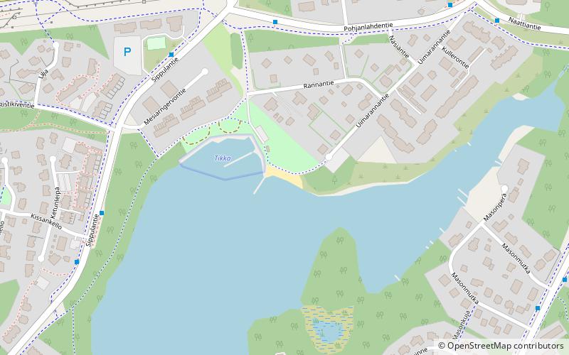
Haapaniemen uimaranta
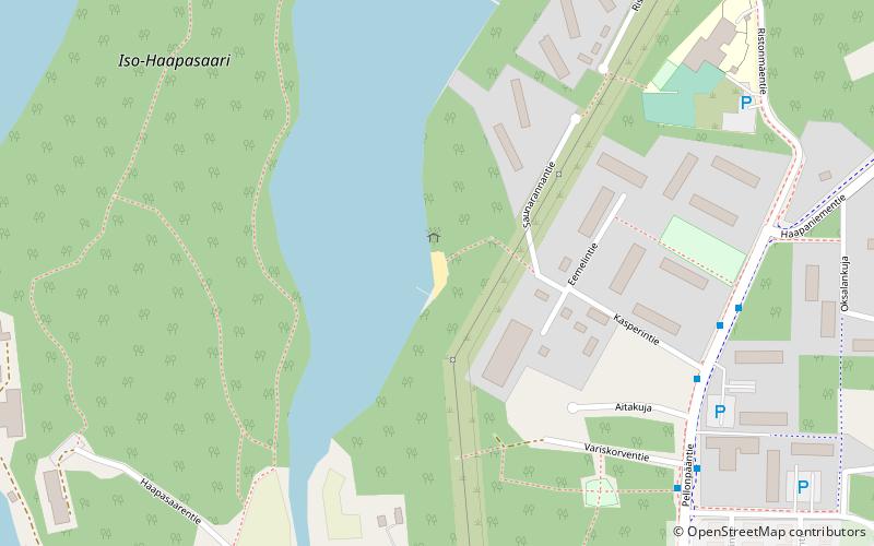
Map
Facts and practical information
Haapaniemen uimaranta is a place located in Finland and belongs to the category of beach.
It is situated at an altitude of 256 feet, and its geographical coordinates are 62°13'29"N latitude and 25°50'48"E longitude.
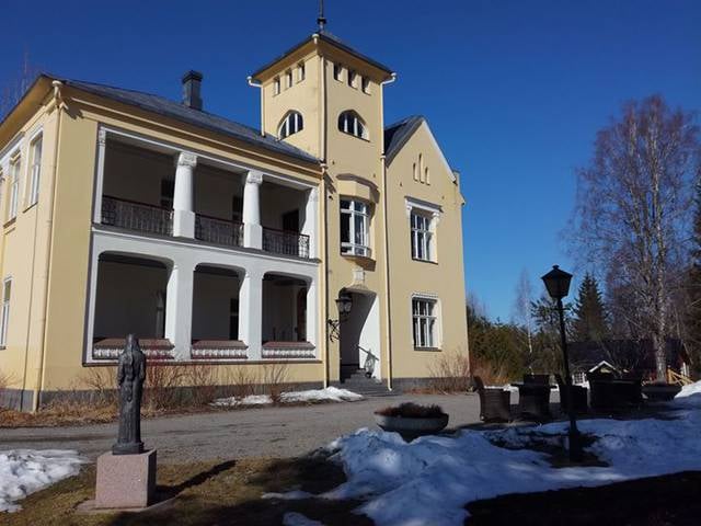
Among other places and attractions worth visiting in the area are: Kuokkalan kartanoJyväskylä (museum, 33 min walk), Uimalanniemen EU-uimaranta (beach, 51 min walk), BeachJyväskylä (beach, 52 min walk).
Coordinates: 62°13'29"N, 25°50'48"E
Location
Western Finland
ContactAdd
Social media
Add
Day trips