Kimalaisenranta, Vantaa

Gallery (1)
Map
Map
Facts and practical information
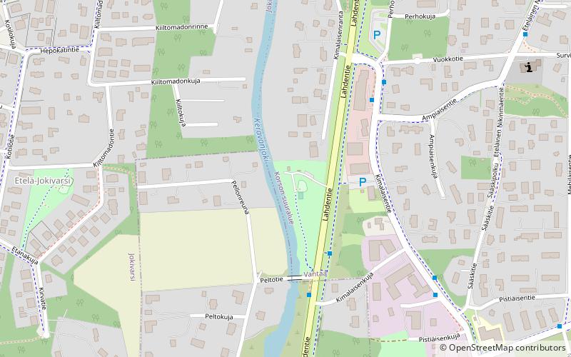
Kimalaisenranta (address: Kimalaisenranta 6) is a place located in Vantaa (Southern Finland province) and belongs to the category of beach.
It is situated at an altitude of 141 feet, and its geographical coordinates are 60°20'29"N latitude and 25°7'28"E longitude.
Planning a visit to this place, one can easily and conveniently get there by public transportation. Kimalaisenranta is a short distance from the following public transport stations: Peltotie (bus, 3 min walk).
Among other places and attractions worth visiting in the area are: Korson koulu (watersports, 56 min walk), Koivukylä (neighbourhood, 67 min walk), Forever Hiekkaharju (golf, 89 min walk).
Coordinates: 60°20'29"N, 25°7'28"E
Address
Kimalaisenranta 6Vantaa
ContactAdd
Social media
Add
Getting there by public transportation
Public transportation stops near this location
- Bus
 Bus
Bus
- Calculate routePeltotie 3 min walk
- Calculate routeVuokkotie 4 min walk
- Calculate routeSääskitie 5 min walk
- Calculate routePistiäisentie 5 min walk
Day trips


Frequently Asked Questions (FAQ)
How to get to Kimalaisenranta by public transport?
The nearest stations to Kimalaisenranta:
Bus
Bus
- Peltotie • Lines: 731N, 738 (3 min walk)
- Vuokkotie • Lines: 737 (4 min walk)