Cholera Basin, Helsinki
Map

Map

Facts and practical information
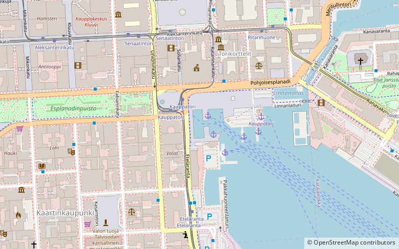
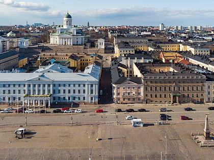
The Cholera basin is the established name for the western harbour basin in front of the Market Square in Helsinki, Finland. ()
Day trips
Cholera Basin – popular in the area (distance from the attraction)
Nearby attractions include: Market Square, Helsinki Cathedral, Uspenski Cathedral, Presidential Palace.
Frequently Asked Questions (FAQ)
Which popular attractions are close to Cholera Basin?
Nearby attractions include The Stone of The Empress, Helsinki (2 min walk), Havis Amanda, Helsinki (2 min walk), Helsinki City Hall, Helsinki (2 min walk), Smolna, Helsinki (3 min walk).
How to get to Cholera Basin by public transport?
The nearest stations to Cholera Basin:
Ferry
Tram
Bus
Metro
Train
Ferry
- Kauppatori • Lines: Kauppatori-Korkeasaari, Sininen reitti (1 min walk)
- Olympia Terminal, Helsinki • Lines: Silja Line (9 min walk)
Tram
- Kauppatori • Lines: 2 (2 min walk)
- Eteläranta • Lines: 2 (4 min walk)
Bus
- Kolmikulma • Lines: 24 (9 min walk)
- Erottaja • Lines: 24 (10 min walk)
Metro
- University of Helsinki • Lines: M1, M2 (11 min walk)
- Central Railway Station • Lines: M1, M2 (14 min walk)
Train
- Helsinki (14 min walk)


