Teräsrautela, Turku
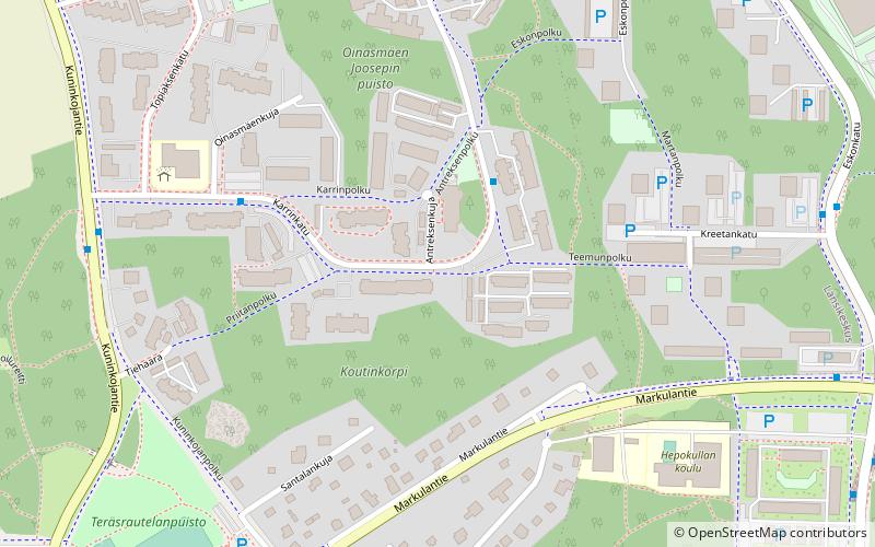
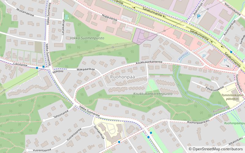
Map
Facts and practical information
Address
Länsikeskus (Teräsrautela)Turku
ContactAdd
Social media
Add
Getting there by public transportation
Public transportation stops near this location
- Bus
 Bus
Bus
- Calculate routeEskonpolku 2 min walk
- Calculate routeKarrinpolku 4 min walk
- Calculate routeKuninkojantie 6 min walk
- Calculate routeKarrinkatu 6 min walk
Day trips

Frequently Asked Questions (FAQ)
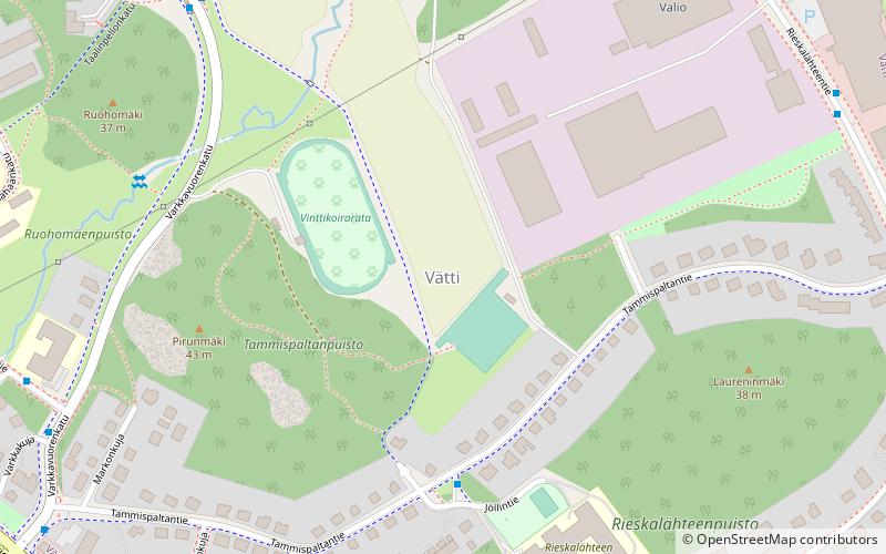
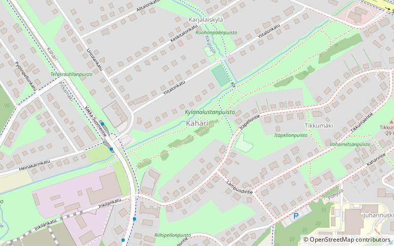
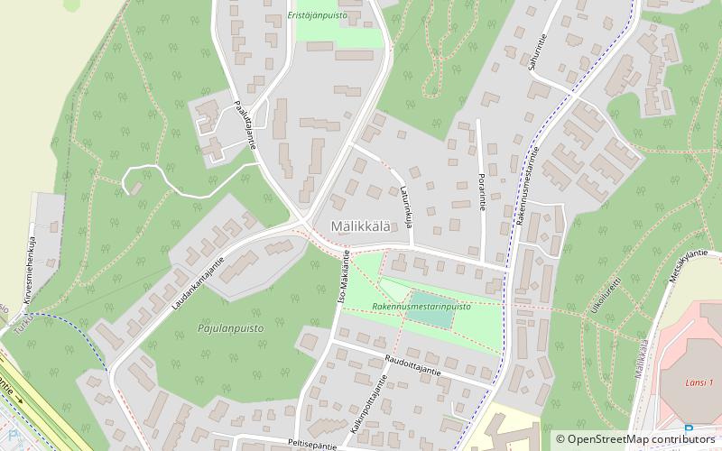
Which popular attractions are close to Teräsrautela?
Nearby attractions include Vätti, Turku (21 min walk), Ruohonpää, Turku (22 min walk), Kaerla, Turku (23 min walk), Mälikkälä, Turku (23 min walk).
How to get to Teräsrautela by public transport?
The nearest stations to Teräsrautela:
Bus
Bus
- Eskonpolku • Lines: 88 (2 min walk)
- Karrinpolku • Lines: 88 (4 min walk)