Vantaa incinerator, Vantaa
Map
Facts and practical information
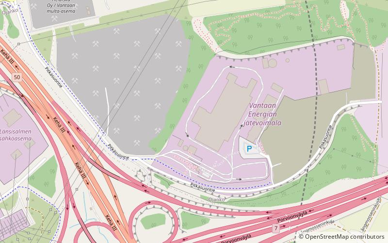
The Vantaa incinerator is an incinerator power plant taken to use in Vantaa, Finland, on 17 September 2014. It is operated by Vantaan Energia. It is the largest incinerator in Finland, and it cost 300 million Euros to build. It is located immediately to the northeast of the intersection of the Finnish national road 7 and the Ring III bypass road. ()
Coordinates: 60°15'38"N, 25°7'40"E
Address
Vantaa
ContactAdd
Social media
Add
Day trips
Vantaa incinerator – popular in the area (distance from the attraction)
Nearby attractions include: Vuosaarenhuippu, Easton Helsinki, Forever Hiekkaharju, Silkkisali.
Frequently Asked Questions (FAQ)
How to get to Vantaa incinerator by public transport?
The nearest stations to Vantaa incinerator:
Bus
Bus
- Länsisalmentie • Lines: 588, 588B (11 min walk)
- Pitkäsuo • Lines: 588, 588B (11 min walk)


