Canton of Saint-Malo-Nord, Saint-Malo

Map
Facts and practical information
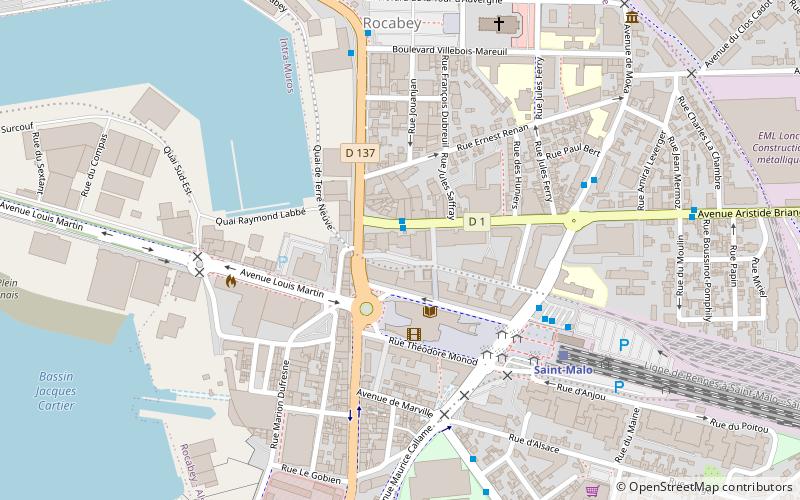
The canton of Saint-Malo-Nord is a former canton of France, located in the arrondissement of Saint-Malo, in the Ille-et-Vilaine département, Brittany région. It had 25,703 inhabitants. It was disbanded following the French canton reorganisation which came into effect in March 2015. The canton comprised part of the commune of Saint-Malo. ()
Address
Saint-Malo
ContactAdd
Social media
Add
Day trips
Canton of Saint-Malo-Nord – popular in the area (distance from the attraction)
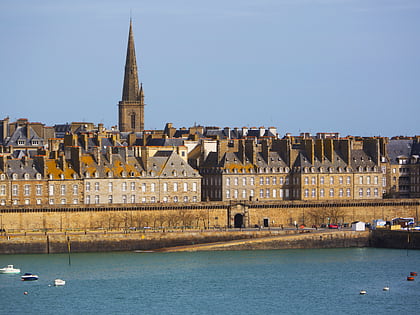
Nearby attractions include: Saint-Malo Cathedral, Fort National, Tour Solidor, Musée international du Long-Cours Cap-Hornier.
Frequently Asked Questions (FAQ)
Which popular attractions are close to Canton of Saint-Malo-Nord?
Nearby attractions include Pôle culturel La Grande Passerelle, Saint-Malo (2 min walk), Demeure de Corsaire - Hôtel Magon, Saint-Malo (20 min walk), Saint-Malo Cathedral, Saint-Malo (22 min walk), Le Monde du Coquillage, Saint-Malo (22 min walk).
How to get to Canton of Saint-Malo-Nord by public transport?
The nearest stations to Canton of Saint-Malo-Nord:
Bus
Train
Bus
- Sécurité Sociale • Lines: 1, 2, 2 Ex, 8 (1 min walk)
- Gares - Quai I • Lines: 1, 2, 2 Ex, 3 (4 min walk)
Train
- Saint-Malo (5 min walk)


