Place du Pilori, Angers
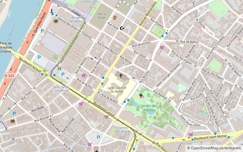
Map
Gallery
Facts and practical information
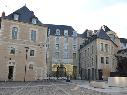
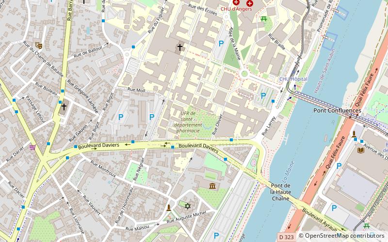
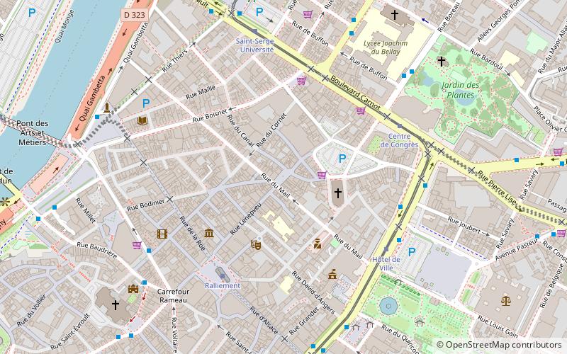
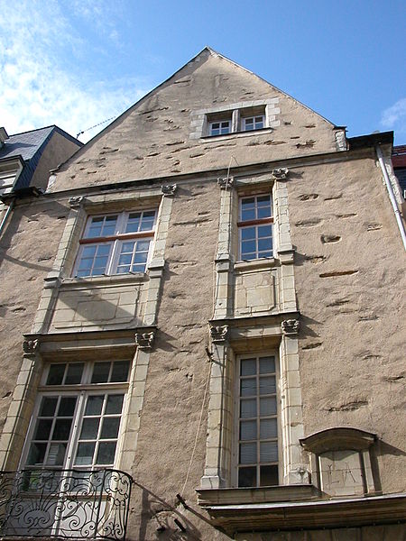
The Place du Pilori is a small square, entirely pedestrian, located in the heart of Angers, between rue Lenepveu and rue Saint-Étienne.
Coordinates: 47°28'24"N, 0°32'59"W
Day trips
Place du Pilori – popular in the area (distance from the attraction)
Nearby attractions include: Château d'Angers, Musée des Beaux-Arts d'Angers, Stade Raymond Kopa, Angers Cathedral.
Frequently Asked Questions (FAQ)
Which popular attractions are close to Place du Pilori?
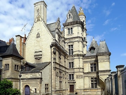
Nearby attractions include Église Notre-Dame-des-Victoires, Angers (3 min walk), Pincé Museum, Angers (4 min walk), Muséum d'histoire naturelle d'Angers, Angers (5 min walk), Place du Ralliement, Angers (5 min walk).
How to get to Place du Pilori by public transport?
The nearest stations to Place du Pilori:
Bus
Tram
Train
Bus
- Mendès France • Lines: 1, 10, 1d, 1s, 2, 3, 3d, 3s, 402, 402 B, 403, 414, 7, 9 (6 min walk)
- Hôtel de Ville • Lines: 30, 31, 32, 42 (5 min walk)
Tram
- Hôtel de Ville • Lines: A (5 min walk)
- Centre de Congrès • Lines: A (5 min walk)
Train
- Angers Saint-Laud (18 min walk)
- Angers - Maître-École (24 min walk)


