Angers Bridge, Angers
Map
Map

Facts and practical information
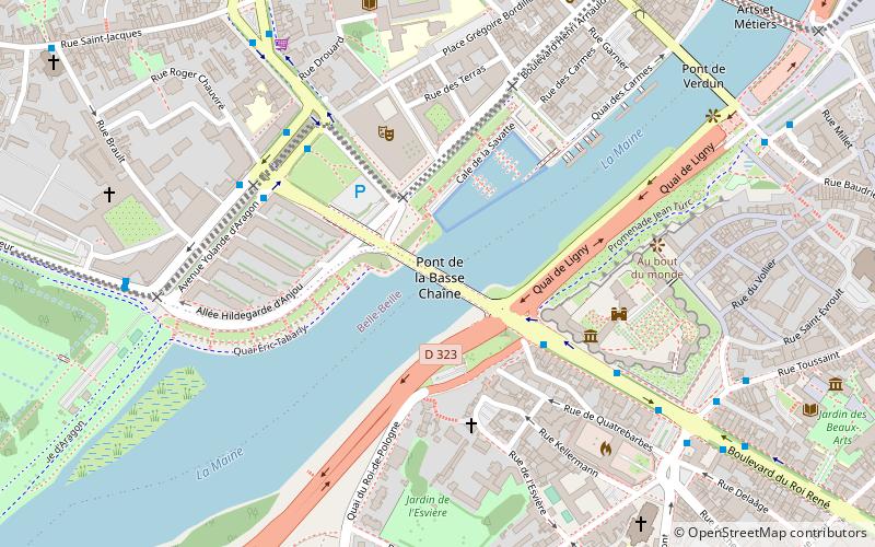
Angers Bridge, also called the Basse-Chaîne Bridge, was a suspension bridge over the Maine River in Angers, France. It was designed by Joseph Chaley and Bordillon, and built between 1836 and 1839. The bridge collapsed on 16 April 1850, while a battalion of French soldiers was marching across it, killing over 200 of them. ()
Local name: Pont de la Basse-Chaîne Opened: 1839 (187 years ago)Width: 24 ftHeight: 18 ftCoordinates: 47°28'14"N, 0°33'49"W
Address
Doutre Saint-Jacques (La Doutre)Angers
ContactAdd
Social media
Add
Day trips
Angers Bridge – popular in the area (distance from the attraction)
Nearby attractions include: Château d'Angers, Musée des Beaux-Arts d'Angers, Lac de Maine Stadium, Angers Cathedral.
Frequently Asked Questions (FAQ)
Which popular attractions are close to Angers Bridge?
Nearby attractions include Galerie de l'Apocalypse, Angers (4 min walk), Château d'Angers, Angers (5 min walk), Church of the Holy Trinity, Angers (9 min walk), Fontaine du Pied-Boulet, Angers (9 min walk).
How to get to Angers Bridge by public transport?
The nearest stations to Angers Bridge:
Bus
Train
Tram
Bus
- Roi de Pologne • Lines: 13, 14, 4, 5b, 6, 8 (3 min walk)
- Front de Maine • Lines: 13, 5a, 5b, 6, 8 (5 min walk)
Train
- Angers Saint-Laud (14 min walk)
Tram
- Les Gares • Lines: A (15 min walk)
- Foch - Haras • Lines: A (15 min walk)


