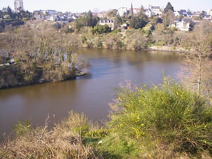
Étang Saint-Nicolas, Angers
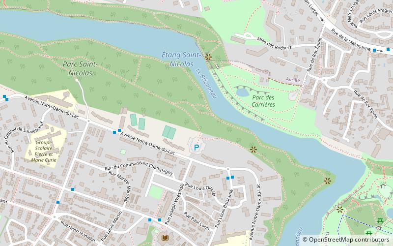
Map

Map

Facts and practical information
Alternative names: Area: 1.16 mi²Length: 2.25 miWidth: 328 ftMaximum depth: 20 ftElevation: 135 ft a.s.l.Coordinates: 47°28'48"N, 0°35'10"W
Address
Belle-Beille (Dauversière)Angers
ContactAdd
Social media
Add
Day trips
Étang Saint-Nicolas – popular in the area (distance from the attraction)
Nearby attractions include: Château d'Angers, Lac de Maine Stadium, Angers Bridge, Church of the Holy Trinity.
Frequently Asked Questions (FAQ)
How to get to Étang Saint-Nicolas by public transport?
The nearest stations to Étang Saint-Nicolas:
Bus
Tram
Bus
- Boisramé • Lines: 1, 1d, 1s (4 min walk)
- Notre-Dame du Lac • Lines: 1, 1d, 1s (5 min walk)
Tram
- Terra Botanica • Lines: A (29 min walk)
- Plateau Mayenne • Lines: A (29 min walk)


