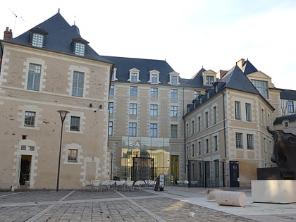
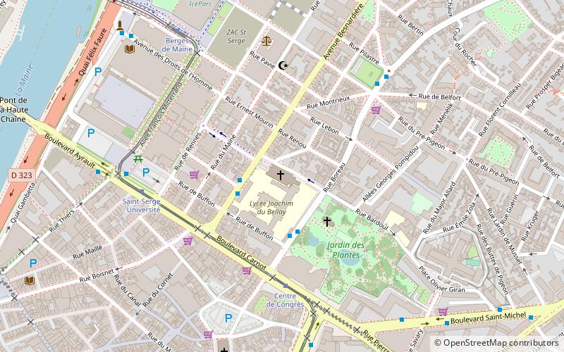
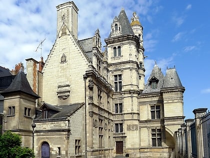
Galerie de l'Apocalypse, Angers

Facts and practical information
Galerie de l'Apocalypse is a place located in Angers (Pays de la Loire region) and belongs to the category of museum.
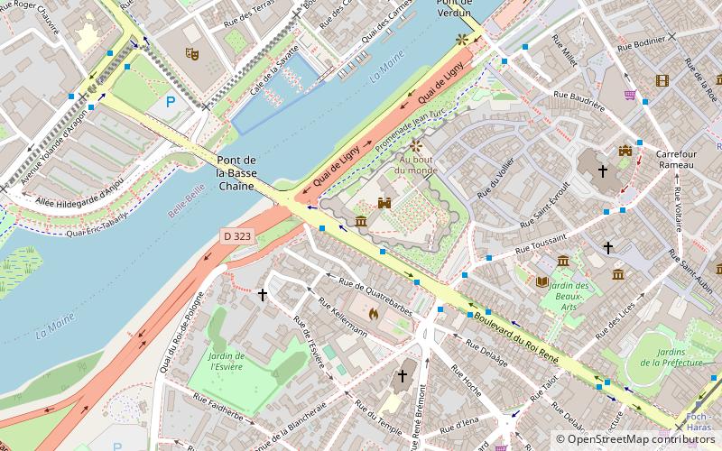
It is situated at an altitude of 125 feet, and its geographical coordinates are 47°28'11"N latitude and 0°33'38"W longitude.
Planning a visit to this place, one can easily and conveniently get there by public transportation. Galerie de l'Apocalypse is a short distance from the following public transport stations: Château (bus, 3 min walk), Angers Saint-Laud (train, 11 min walk), Foch - Haras (tram, 11 min walk).
Among other places and attractions worth visiting in the area are: Château d'Angers (forts and castles, 2 min walk), Angers Bridge (bridge, 4 min walk), Fontaine du Pied-Boulet (fountain, 7 min walk).
Centre ville la Fayette (Voltaire)Angers
Galerie de l'Apocalypse – popular in the area (distance from the attraction)
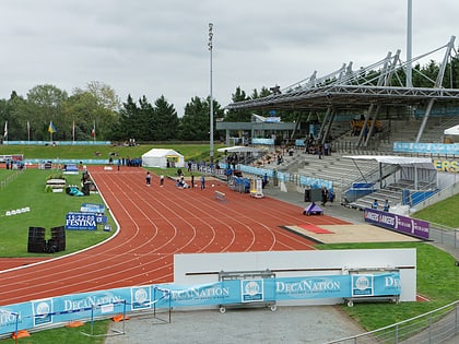
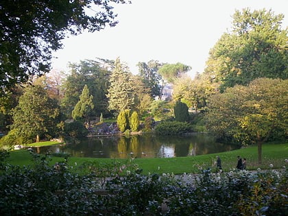
Nearby attractions include: Château d'Angers, Musée des Beaux-Arts d'Angers, Lac de Maine Stadium, Angers Cathedral.
Frequently Asked Questions (FAQ)
Which popular attractions are close to Galerie de l'Apocalypse?
How to get to Galerie de l'Apocalypse by public transport?
Bus
- Château • Lines: 13, 14, 33, 34, 35, 36, 38, 39, 4, 401, 409, 410, 411, 422, 424, 425, 43, 5a, 5b, 6, 8 (3 min walk)
- Roi de Pologne • Lines: 13, 14, 4, 5b, 6, 8 (2 min walk)
Train
- Angers Saint-Laud (11 min walk)
Tram
- Foch - Haras • Lines: A (11 min walk)
- Les Gares • Lines: A (11 min walk)


