Oppidum du Castellan, Istres

Gallery (1)
Map
Map
Facts and practical information
The Castellan oppidum is an oppidum located in the commune of Istres, in the Provence-Alpes-Côte d'Azur region of France.
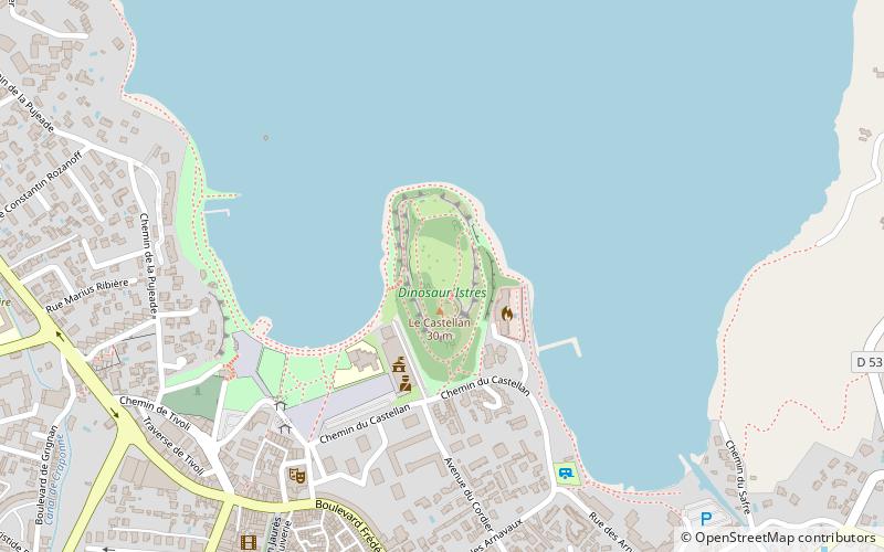
The oppidum is perched on a rocky promontory that towers over the pond of the Olivier, on its southern shore, at a height of 40.7 meters. It was occupied from the 6th century to the 1st century. The plateau is about 300 meters long and 130 meters wide.
Coordinates: 43°31'6"N, 4°59'26"E
Address
Istres
ContactAdd
Social media
Add
Day trips


