Rue Obscure, Nice
Map
Map

Facts and practical information
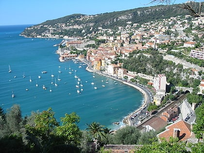
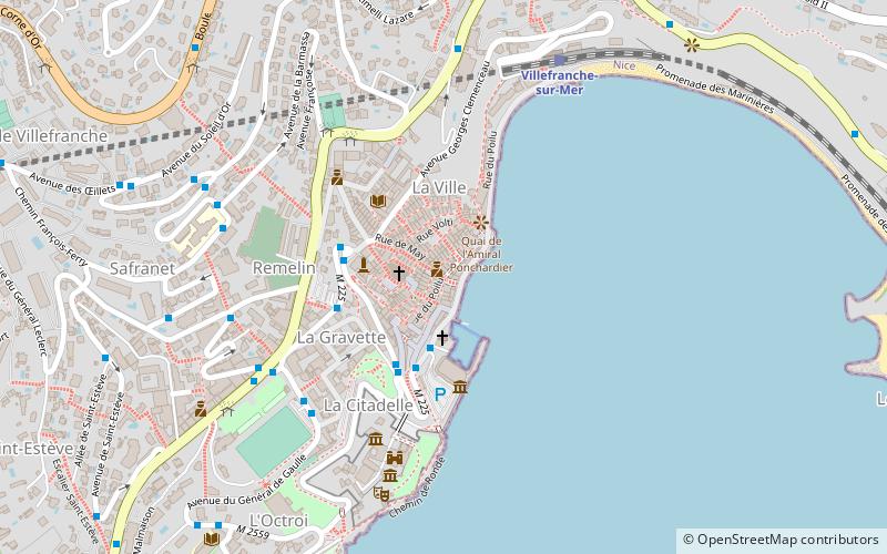
The Rue Obscure of Villefranche-sur-Mer is a 130-meter long covered street dating from 1260, located along the first city wall. It was registered as a historical monument on October 4, 1932.
Coordinates: 43°42'14"N, 7°18'43"E
Address
Nice
ContactAdd
Social media
Add
Day trips
Rue Obscure – popular in the area (distance from the attraction)
Nearby attractions include: Villa Ephrussi de Rothschild, Villa Kerylos, Port de la Darse, Grotte du Lazaret.
Frequently Asked Questions (FAQ)
Which popular attractions are close to Rue Obscure?
Nearby attractions include Villefranche-sur-Mer, Nice (1 min walk), St. Michael's Church, Nice (2 min walk), Saint-Pierre Chapel, Nice (2 min walk), Citadelle Saint-Elme, Nice (5 min walk).
How to get to Rue Obscure by public transport?
The nearest stations to Rue Obscure:
Bus
Train
Tram
Bus
- Port de la Santé • Lines: 80 (3 min walk)
- Hôtel de Ville • Lines: 80 (3 min walk)
Train
- Villefranche-sur-Mer (7 min walk)
- Beaulieu-sur-Mer (26 min walk)
Tram
- Saint-Roch (28 min walk)
- Saint-Jean d'Angély Université • Lines: 1 (30 min walk)


