Fort de Caluire, Lyon
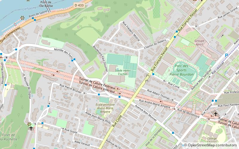
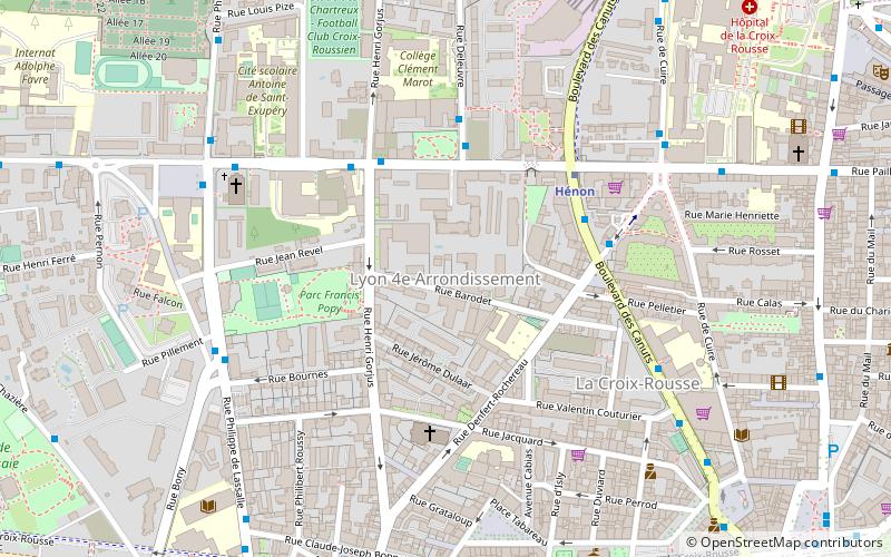
Map
Facts and practical information
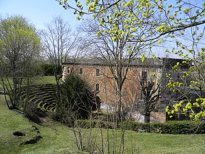
Fort de Caluire was an old fortification situated in Caluire-et-Cuire. Now demolished, it was part of the first belt of forts protecting Lyon. ()
Address
Caluire-et-Cuire (Cuire)Lyon
ContactAdd
Social media
Add
Day trips
Fort de Caluire – popular in the area (distance from the attraction)
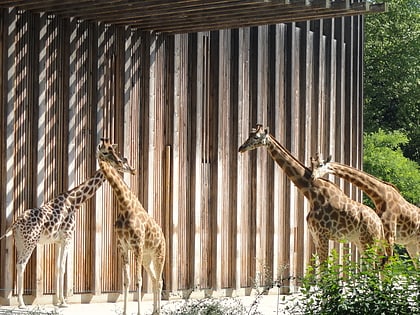
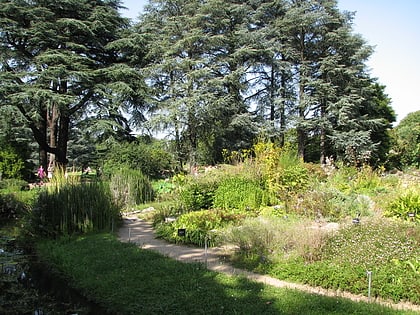
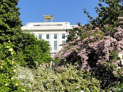
Nearby attractions include: Parc de la Tête d'Or, Lyon Zoo, Jardin botanique de Lyon, Musée d'art contemporain de Lyon.
Frequently Asked Questions (FAQ)
Which popular attractions are close to Fort de Caluire?
Nearby attractions include Caluire-et-Cuire, Lyon (8 min walk), Église Notre-Dame - Saint-Rambert, Lyon (10 min walk), Île Barbe, Lyon (10 min walk), Musée Jean Couty, Lyon (13 min walk).
How to get to Fort de Caluire by public transport?
The nearest stations to Fort de Caluire:
Bus
Trolleybus
Metro
Bus
- Place du Capot • Lines: S5 (3 min walk)
- Stade Henri Cochet • Lines: 33, 38, S5 (3 min walk)
Trolleybus
- Montessuy Calmette • Lines: C1 (9 min walk)
- Impasse Mathieu • Lines: C1 (10 min walk)
Metro
- Cuire • Lines: C (15 min walk)
- Hénon • Lines: C (27 min walk)
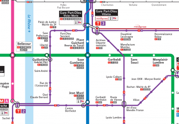 Metro
Metro
