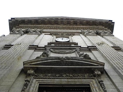
Rue Royale, Lyon
Map
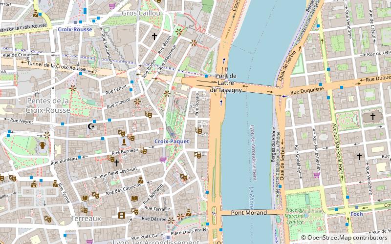
Map

Facts and practical information
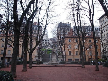
The Rue Royale is a street located in the 1st arrondissement of Lyon and was the main street of the quarter when it was created. It starts between the Place Servetus and the Rue de Provence and ends by joining the Grande Rue des Feuillants. There are many traboules closed which link the street with the Quai Lassagne and the rue d'Alsace-Lorraine. It is served by line C of the metro. ()
Address
Arrondissement 1ER (Griffon - Royale)Lyon
ContactAdd
Social media
Add
Day trips
Rue Royale – popular in the area (distance from the attraction)
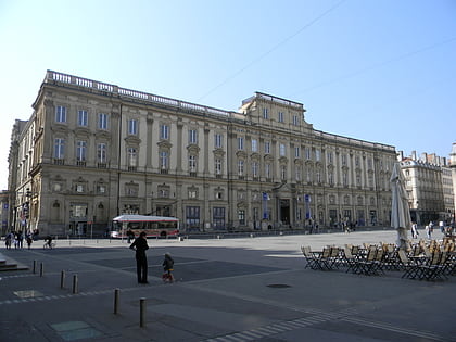
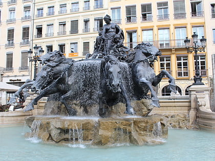
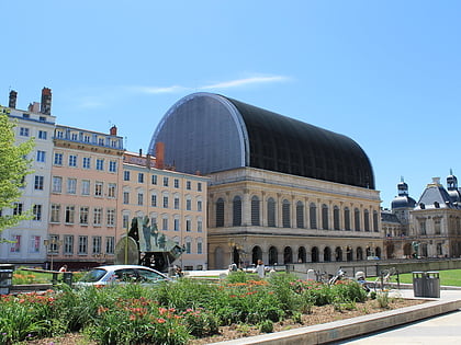
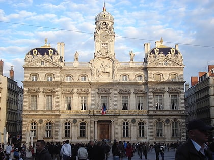
Nearby attractions include: Musée des Beaux-Arts de Lyon, Fontaine Bartholdi, Opéra de Lyon, City Hall.
Frequently Asked Questions (FAQ)
Which popular attractions are close to Rue Royale?
Nearby attractions include Place Croix-Paquet, Lyon (2 min walk), Tunnel de la Croix-Rousse, Lyon (3 min walk), Cour des Voraces, Lyon (4 min walk), Église Saint-Polycarpe, Lyon (5 min walk).
How to get to Rue Royale by public transport?
The nearest stations to Rue Royale:
Metro
Bus
Trolleybus
Ferry
Train
Tram
Metro
- Croix-Paquet • Lines: C (2 min walk)
- Hôtel de Ville - Louis Pradel • Lines: A, C (7 min walk)
Bus
- Pont de Lattre - Rive Droite • Lines: C6 (3 min walk)
- Hôtel de Ville - Louis Pradel • Lines: 9, C5 (4 min walk)
Trolleybus
- Colbert • Lines: S6 (4 min walk)
- Tables Claudiennes • Lines: S6 (6 min walk)
Ferry
- Saint-Paul - Hôtel de Ville • Lines: Vaporetto (14 min walk)
- Bellecour • Lines: Vaporetto (23 min walk)
Train
- Lyon-Saint-Paul (16 min walk)
- Fourvière (26 min walk)
Tram
- Saxe-Préfecture • Lines: T1 (23 min walk)
- Liberté • Lines: T1 (23 min walk)

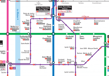 Metro
Metro