Chapelle Paraire, Rodez
Map

Map

Facts and practical information
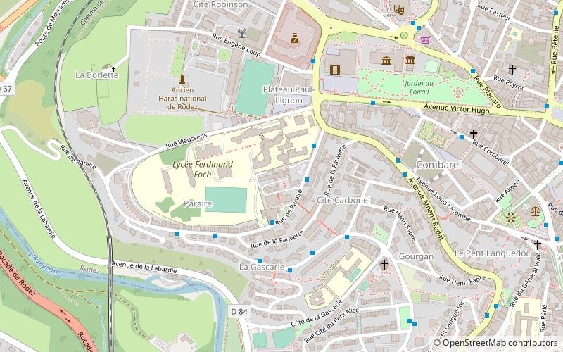
The Paraire Chapel is a chapel located in the Paraire district of Rodez, Aveyron, on the site where the former Paraire Asylum used to stand.
Coordinates: 44°20'59"N, 2°33'52"E
Address
Rodez
ContactAdd
Social media
Add
Day trips
Chapelle Paraire – popular in the area (distance from the attraction)
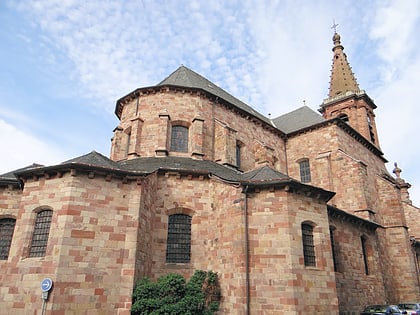
Nearby attractions include: Rodez Cathedral, Le Monastère, Musée Denys-Puech, Musée Fenaille.
Frequently Asked Questions (FAQ)
Which popular attractions are close to Chapelle Paraire?
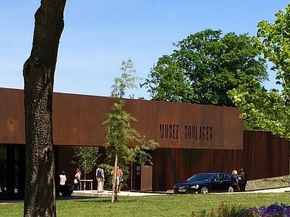
Nearby attractions include Ancien Haras national de Rodez, Rodez (6 min walk), Musée Soulages, Rodez (7 min walk), Rodez Cathedral, Rodez (13 min walk), La Menuiserie, Rodez (14 min walk).
How to get to Chapelle Paraire by public transport?
The nearest stations to Chapelle Paraire:
Bus
Train
Bus
- Paraire • Lines: H (2 min walk)
- Fauvette • Lines: H (3 min walk)
Train
- Rodez (31 min walk)


