Fort de Champvillard, Lyon
Map

Gallery
Facts and practical information
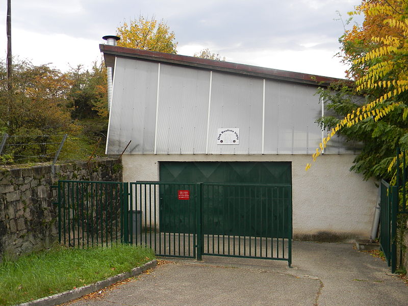
The fort of Champvillard is an old military work built from 1879 to 1881 in the commune of Irigny, west of Lyon. It is part of the second belt of Lyon and more globally of the Séré de Rivières system.
This fort, culminating at an altitude of 277 meters, was used to control the communes of Irigny, Millery, Brignais and part of the Rhône Valley, as well as to support the fort of Feyzin.
Coordinates: 45°40'17"N, 4°48'42"E
Address
Lyon
ContactAdd
Social media
Add
Day trips
Fort de Champvillard – popular in the area (distance from the attraction)
Nearby attractions include: Parc Henry-Chabert, Centre Aquatique AquaGaron, Lyon OU, Fort de Feyzin.
Frequently Asked Questions (FAQ)
How to get to Fort de Champvillard by public transport?
The nearest stations to Fort de Champvillard:
Bus
Bus
- Dorothée Petit • Lines: 15, 15E (8 min walk)
- Champvillard • Lines: 15, 15E (9 min walk)

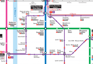 Metro
Metro