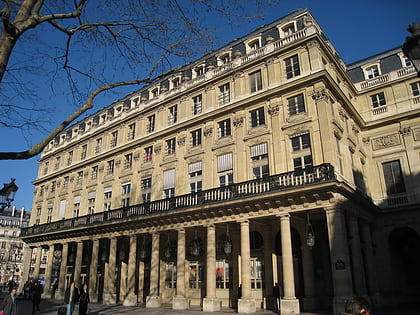
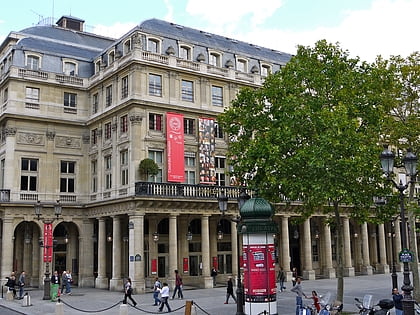
Place des Pyramides, Paris
Map
Gallery
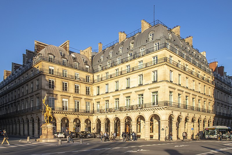
Facts and practical information
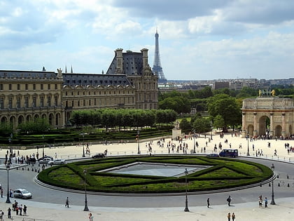
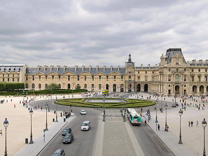
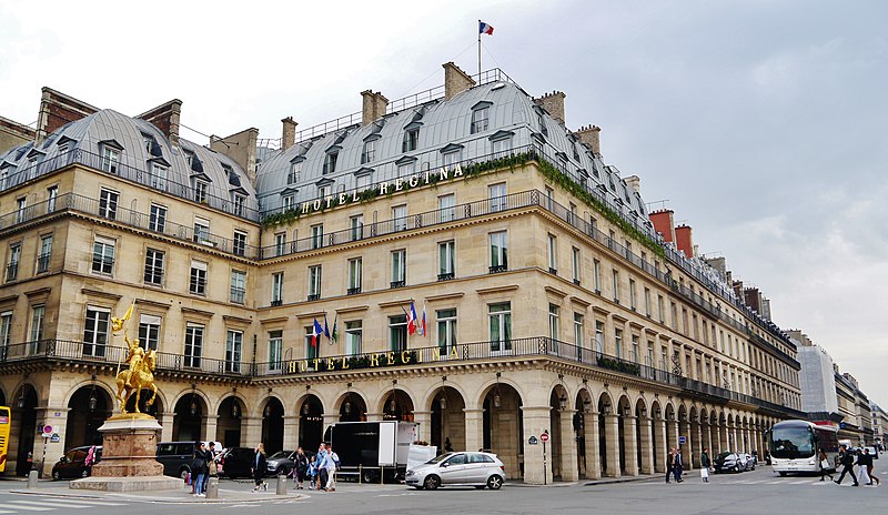
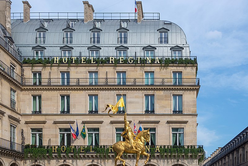
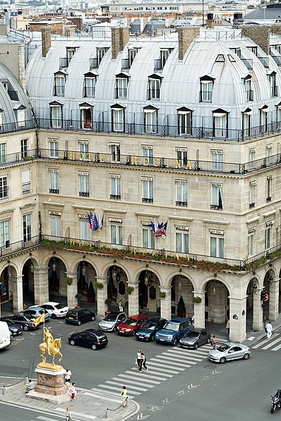
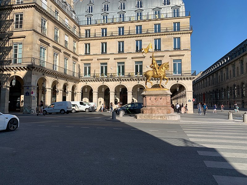
Place des Pyramides is a public square in the 1st arrondissement of Paris, France. It is located in the middle of the Rue de Rivoli, at its intersection with the Rue des Pyramides and Avenue du General Lemonnier, at the eastern end of the Tuileries Garden. ()
Address
14, rue des PyramidesLouvre (Place Vendôme)Paris 75001
Contact
+33 1 47 03 43 62
Social media
Add
Day trips
Place des Pyramides – popular in the area (distance from the attraction)
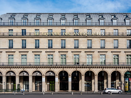
Nearby attractions include: Louvre Palace, Tuileries Garden, Carrousel du Louvre, Le Louvre des Antiquaires.
Frequently Asked Questions (FAQ)
Which popular attractions are close to Place des Pyramides?
Nearby attractions include Pavillon de Marsan, Paris (1 min walk), Rue Saint-Honoré, Paris (2 min walk), Musée des Arts Décoratifs, Paris (2 min walk), Saint-Roch, Paris (2 min walk).
How to get to Place des Pyramides by public transport?
The nearest stations to Place des Pyramides:
Bus
Metro
Ferry
Train
Bus
- Pyramides - Tuileries • Lines: 72, N11, N24 (1 min walk)
- Pyramides - Saint-Honoré • Lines: 68 (2 min walk)
Metro
- Tuileries • Lines: 1 (3 min walk)
- Pyramides • Lines: 14, 7 (5 min walk)
Ferry
- Louvre • Lines: Batobus (7 min walk)
- Musée d'Orsay • Lines: Batobus (9 min walk)
Train
- Musée d'Orsay (10 min walk)
- Auber (15 min walk)



 Metro
Metro

