Parc Floral de la Source, Orléans
Map

Map

Facts and practical information
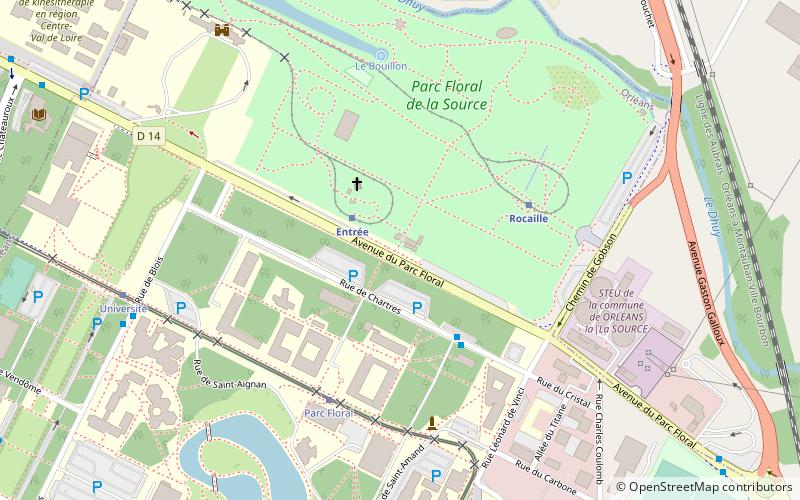
The Parc Floral de la Source is a French garden situated to the south of the River Loire, in the La Source neighbourhood of the town of Orléans, in the département of Loiret. With more than 150,000 visitors in 2007, it is the most visited site in Loiret. ()
Address
La Source Pavillons Campus (Universités)Orléans
ContactAdd
Social media
Add
Day trips
Parc Floral de la Source – popular in the area (distance from the attraction)
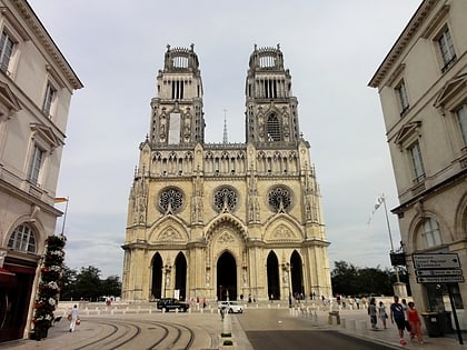
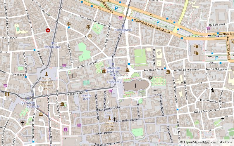
Nearby attractions include: Orléans Cathedral, Museum of Fine Arts, Church of Saint-Aignan, Cenabum.
Frequently Asked Questions (FAQ)
How to get to Parc Floral de la Source by public transport?
The nearest stations to Parc Floral de la Source:
Train
Bus
Tram
Train
- Entrée (2 min walk)
- Rocaille (4 min walk)
Bus
- Parc Floral • Lines: 7 (3 min walk)
- Université • Lines: 1, 7 (8 min walk)
Tram
- Parc Floral • Lines: A (5 min walk)
- Université • Lines: A (8 min walk)


