Canal d'Orléans, Orléans
Map
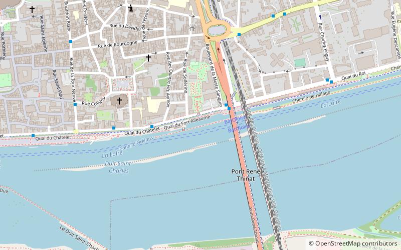
Map

Facts and practical information
The Canal d'Orléans connects the river Loire at Orléans to a junction with the Canal du Loing and the Canal de Briare in the village of Buges near Montargis. It is entirely within the department of Loiret. ()
Address
Bourgogne (Bourgogne-Préfecture)Orléans
ContactAdd
Social media
Add
Day trips
Canal d'Orléans – popular in the area (distance from the attraction)
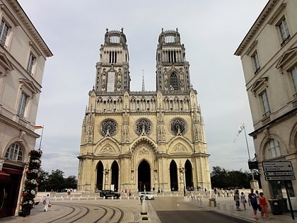
Nearby attractions include: Orléans Cathedral, Museum of Fine Arts, Church of Saint-Aignan, Cenabum.
Frequently Asked Questions (FAQ)
Which popular attractions are close to Canal d'Orléans?
Nearby attractions include Church of Saint-Aignan, Orléans (4 min walk), Pont René Thinat, Orléans (4 min walk), Église Saint-Pierre-le-Puellier, Orléans (9 min walk), Saint-Jean-le-Blanc, Orléans (12 min walk).
How to get to Canal d'Orléans by public transport?
The nearest stations to Canal d'Orléans:
Bus
Tram
Train
Bus
- Quai du Roi • Lines: L (2 min walk)
- Saint-Aignan • Lines: L (4 min walk)
Tram
- Cathédrale • Lines: B (14 min walk)
- Jeanne d'Arc • Lines: B (16 min walk)
Train
- Orléans (25 min walk)

