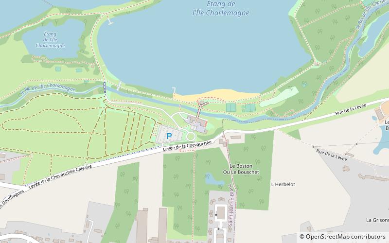
Base de Loisir de L'Île Charlemagne, Orléans
Map

Map

Facts and practical information
The Ile Charlemagne leisure center is a French outdoor and leisure center located in Saint-Jean-le-Blanc in the Loiret department in the Centre-Val de Loire region.
The site is administered by the City of Orleans.
Area: 172.97 acres (0.2703 mi²)Coordinates: 47°53'42"N, 1°56'25"E
Day trips
Base de Loisir de L'Île Charlemagne – popular in the area (distance from the attraction)
Nearby attractions include: Church of Saint-Aignan, Canal d'Orléans, Saint-Jean-le-Blanc, St. John the Baptist Church.
Frequently Asked Questions (FAQ)
How to get to Base de Loisir de L'Île Charlemagne by public transport?
The nearest stations to Base de Loisir de L'Île Charlemagne:
Bus
Tram
Bus
- Corne • Lines: 16 (9 min walk)
- Île Charlemagne • Lines: 16 (14 min walk)
Tram
- Ambert • Lines: B (25 min walk)
- Gaudier-Brzeska • Lines: B (28 min walk)


