Place Saint-Michel, Paris
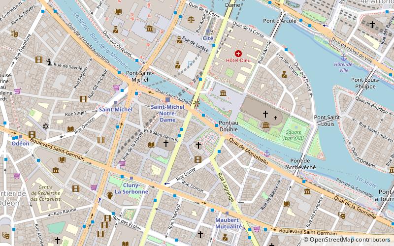
Map
Gallery
Facts and practical information
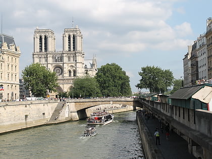
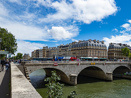
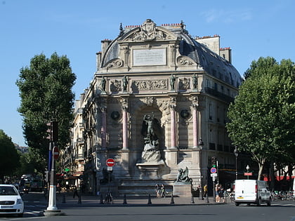
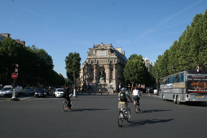
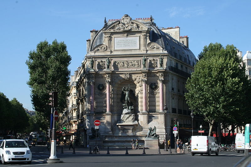
The Place Saint-Michel is a public square in the Latin Quarter, on the borderline between the fifth and sixth arrondissements of Paris, France. It lies on the left bank of the river Seine facing the Île de la Cité, to which it is linked by the Pont Saint-Michel. ()
Address
Place Saint-MichelLuxembourg (Monnaie)Paris
ContactAdd
Social media
Add
Day trips
Place Saint-Michel – popular in the area (distance from the attraction)
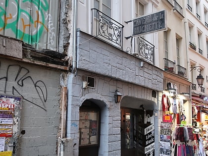
Nearby attractions include: Sainte-Chapelle, Musée de Cluny, Lutetia, Le Caveau de la Huchette.
Frequently Asked Questions (FAQ)
Which popular attractions are close to Place Saint-Michel?
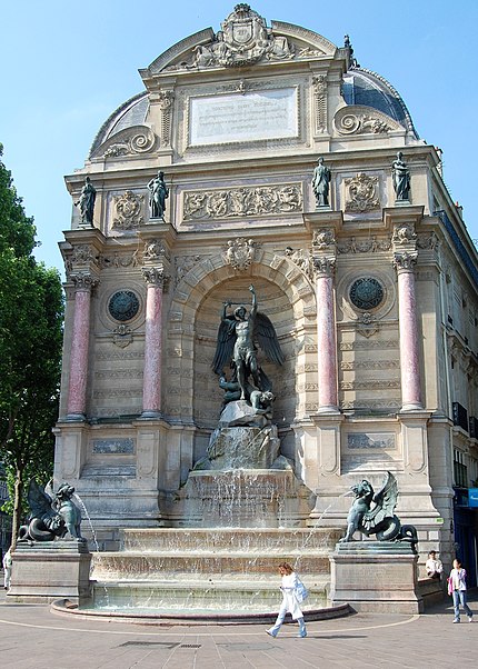
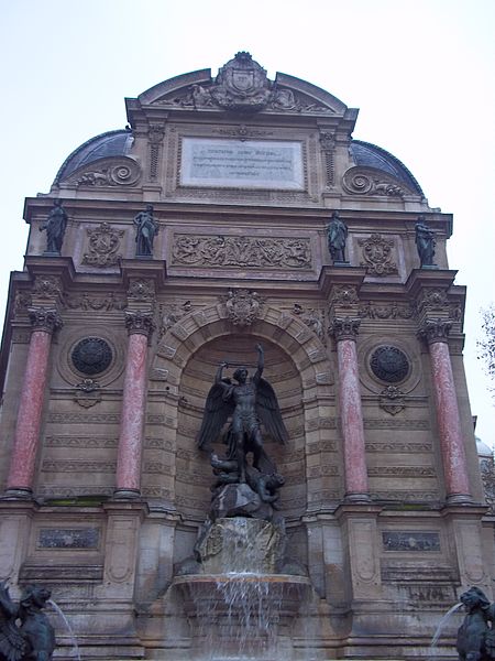
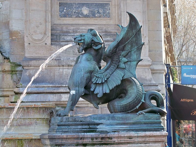
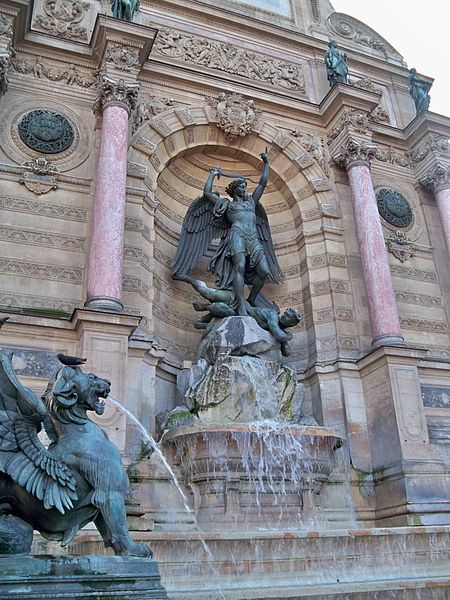
Nearby attractions include Saint-Séverin, Paris (1 min walk), Fontaine Saint-Michel, Paris (2 min walk), Bibliothèque interuniversitaire de santé, Paris (3 min walk), Rue de la Harpe, Paris (3 min walk).
How to get to Place Saint-Michel by public transport?
The nearest stations to Place Saint-Michel:
Metro
Bus
Train
Ferry
Metro
- Saint-Michel • Lines: 4 (2 min walk)
- Cluny-La Sorbonne • Lines: 10 (4 min walk)
Bus
- Saint-Michel - Saint-Germain • Lines: 21, 27, 38, 96, N12, N122, N13, N14, N21 (2 min walk)
- Saint-Michel • Lines: 27, 87, 96, N12, N13 (3 min walk)
Train
- Saint-Michel Notre-Dame (4 min walk)
- Luxembourg (14 min walk)
Ferry
- Notre-Dame • Lines: Batobus (9 min walk)
- Hôtel-de-Ville • Lines: Batobus (13 min walk)



 Metro
Metro

