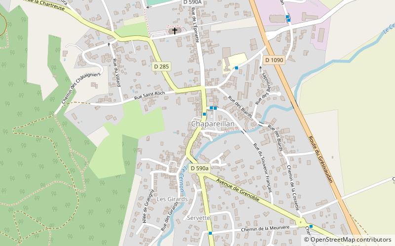
Chapareillan
#8002 among destinations in France


Facts and practical information
Chapareillan is a commune in the Isère department and Auvergne-Rhône-Alpes region in southeastern France. ()
Auvergne-Rhône-AlpesFrance
Chapareillan – popular in the area (distance from the attraction)
Nearby attractions include: Mont Granier, Château Bayard, Mont Joigny, Sommet du Pinet.
 Nature, Natural attraction, Mountain
Mont Granier, Réserve naturelle nationale des Hauts de Chartreuse
81 min walk • Mont Granier is a limestone mountain located between the départements of Savoie and Isère in France. It lies in the Chartreuse Mountains range of the French Prealps between the towns of Chapareillan and Entremont-le-Vieux.
 Forts and castles
Château Bayard, Pontcharra
78 min walk • The Château Bayard is a castle in the commune of Pontcharra in the département of Isère, and dominates the valley of Grésivaudan in the Dauphiné Alps. Château Bayard has been listed as a monument historique by the French Ministry of Culture since 1915.
 Nature, Natural attraction, Mountain
Mont Joigny
125 min walk • Mont Joigny is a mountain in the Chartreuse Mountains in Savoie, France. It lies west of the Col du Granier and north of Entremont-le-Vieux.
 Nature, Natural attraction, Mountain
Sommet du Pinet, Réserve naturelle nationale des Hauts de Chartreuse
119 min walk • The Sommet du Pinet is a Chartreuse mountain situated at the south of the mont Granier, culminating at 1,867 m above sea level.
 Nature, Natural attraction, Mountain pass
Col du Granier
98 min walk • Col du Granier is a mountain pass in the Alps in the department of Savoie in France which crosses the Chartreuse Mountains to connect the villages of Entremont-le-Vieux, Apremont and Chapareillan.
 Nature, Natural attraction, Mountain
Pointe de la Gorgeat
133 min walk • The Pointe de la Gorgeat is a Chartreuse Mountain culminating at 1,486 m above sea level in the French department of Savoie.
 Military base, Forts and castles
Fort Barraux, Barraux
49 min walk • Fort Barraux, located in the commune of Barraux in Isère, is one of the oldest bastioned forts in the Alps still standing.
 Park
ParkRéserve naturelle des Hauts de Chartreuse, Réserve naturelle nationale des Hauts de Chartreuse
167 min walk • The Réserve naturelle nationale des Hauts de Chartreuse is a national nature reserve located in Rhône-Alpes in the Chartreuse mountains. Classified in 1997, it covers 4,450 hectares and forms a vast rocky tray bordered by cliffs which has mountain and subalpine environments.
 Locality
Les Marches
56 min walk • Les Marches is a former commune in the Savoie department in the Auvergne-Rhône-Alpes region in south-eastern France. On 1 January 2019, it was merged into the new commune Porte-de-Savoie.

 Memorial
War Memorial, Barraux
54 min walk • Monuments aux Morts are French war memorials established to commemorate the losses of World War I.
