Col de la Ruchère, Parc Naturel Régional de la Chartreuse
Map

Map

Facts and practical information
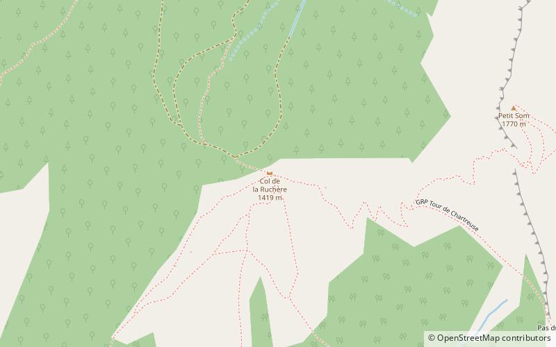
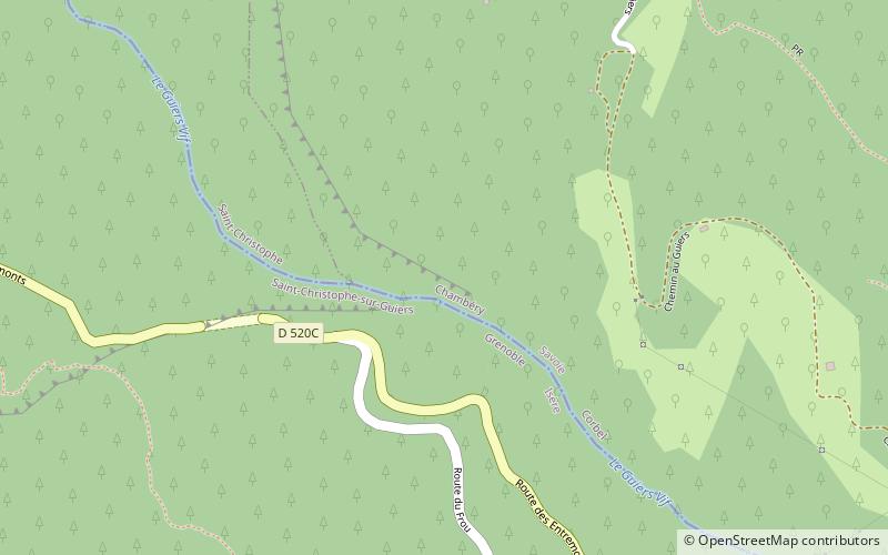
The Col de la Ruchère is a mountain pass located at 1,407 m above sea level, in the township of Saint-Christophe-sur-Guiers in the Chartreuse Mountains between the Riondettes meadow at La Ruchère and the Grande Chartreuse monastery. ()
Address
Parc Naturel Régional de la Chartreuse
ContactAdd
Social media
Add
Day trips
Col de la Ruchère – popular in the area (distance from the attraction)
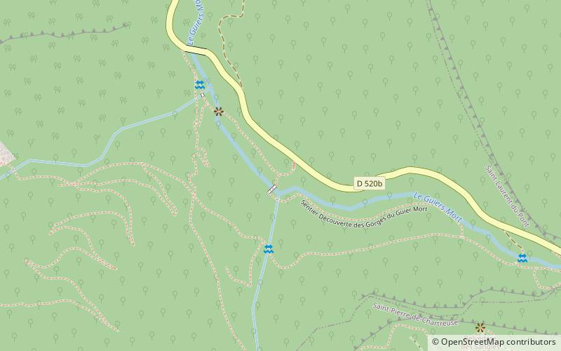
Nearby attractions include: Gorges du Guiers Mort, Grand Som, Entre-deux-Guiers, Roche Veyrand.


