La Chapelle-en-Valgaudémar

Facts and practical information
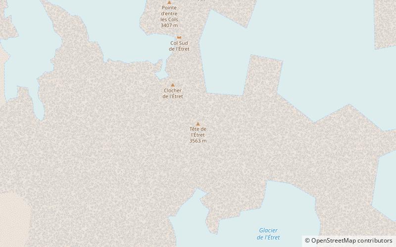
Tucked away in the stunning Provence-Alpes-Côte d'Azur region of France, the charming village of La Chapelle-en-Valgaudémar offers visitors a peaceful and picturesque escape from the hustle and bustle of city life. Surrounded by the majestic peaks of the Écrins National Park, this commune is a paradise for nature lovers and outdoor enthusiasts.
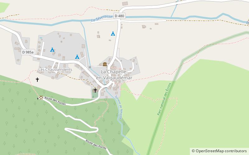
The village itself is a delightful blend of traditional Alpine architecture and modern amenities, with cozy guesthouses and family-run restaurants dotting the streets. Visitors can take leisurely strolls along the winding paths, admiring the quaint stone houses and vibrant flower gardens that line the way. The warm hospitality of the locals adds to the welcoming atmosphere, making La Chapelle-en-Valgaudémar the perfect destination for a relaxing retreat.
Nature enthusiasts will be in their element in La Chapelle-en-Valgaudémar, as the surrounding area offers a wealth of outdoor activities. Hiking and mountain biking trails crisscross the region, leading adventurers through lush forests, past sparkling mountain streams, and up to breathtaking viewpoints. The nearby Valgaudemar Valley is a particularly popular spot for nature walks and wildlife spotting, with its tranquil meadows and crystal-clear lakes providing a serene setting for a day of exploration.
For those with a passion for history and culture, the village and its surroundings also offer a fascinating glimpse into the region's past. The Écrins National Park Visitor Center provides an informative look at the area's natural and cultural heritage, while the local chapels and churches showcase the rich religious traditions that have shaped the community over the centuries.
Provence-Alpes-Côte d'Azur