Aiguille des Arias, Écrins National Park

Gallery (1)
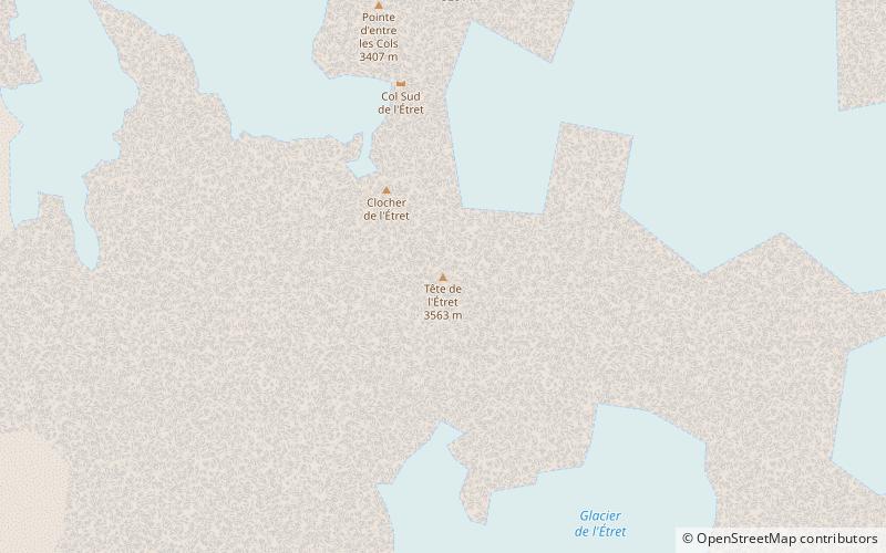
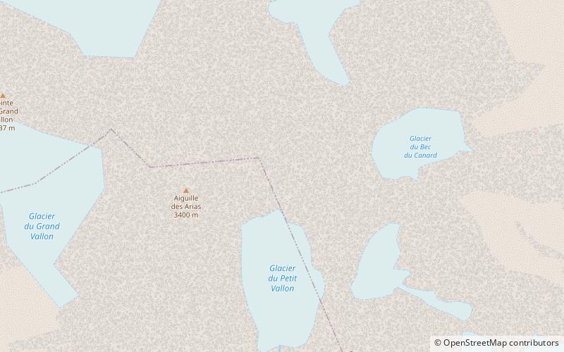
Map
Map
Facts and practical information
Aiguille des Arias is a mountain of the French Alps in Isère. Located in the Massif des Écrins, the mountain is 3,403 m tall. ()
Address
Écrins National Park
ContactAdd
Social media
Add
Day trips