Tête de l'Etret, Écrins National Park
#30 among attractions in Écrins National Park
Facts and practical information
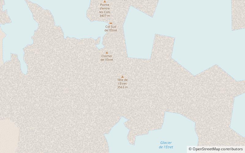
Tête de l'Étret is a mountain in the French Alps, located in the Massif des Écrins. It has a summit elevation of 3,559 m above sea level. ()
Écrins National Park France
Tête de l'Etret – popular in the area (distance from the attraction)
Nearby attractions include: Aiguille Dibona, Grande Ruine, Roche Faurio, Les Bans.
5.1 miNNature, Natural attraction, MountainAiguille Dibona
130 min walk • The Aiguille Dibona, formerly called Pain de Sucre du Soreiller, is a mountain in the Massif des Écrins in the French Alps notable for its "astonishing triangular granite...
6.8 miNENature, Natural attraction, MountainGrande Ruine, Écrins National Park
173 min walk • La Grande Ruine is a mountain in Hautes-Alpes, France. It belongs to the Massif des Écrins in the Dauphiné Alps and is located in the heart of the wilderness of the Écrins National Park roughly halfway between its illustrious neighbours Barre des Écrins and Meije.
6.6 miNENature, Natural attraction, MountainRoche Faurio, Écrins National Park
168 min walk • Roche Faurio is a mountain of the Massif des Écrins in the Dauphiné Alps in Isère, France. It lies in front of the mighty north face of the Barre des Écrins and towers over the Glacier Blanc. The mountain lies inside the Écrins National Park.
5.2 miSENature, Natural attraction, MountainLes Bans, Écrins National Park
133 min walk • Les Bans is a mountain in the Massif des Écrins in the Dauphiné Alps, first climbed by W. A. B. Coolidge, Christian Almer and U. Almer on July 14, 1878.
3.2 miSWNature, Natural attraction, MountainOlan Mountain, Écrins National Park
81 min walk • The Olan is a mountain in the Massif des Écrins in the French Alps. It dominates the valleys of Valgaudemar, Valjouffrey, and Vénéon in the heart of Écrins National Park.
5.3 miNNature, Natural attraction, MountainAiguille du Plat de la Selle
135 min walk • The Aiguille du Plat de la Selle, 3,596 m, is a mountain of the Massif des Écrins in the Dauphiné Alps in south-eastern France. Ascents of the mountain are via Saint-Christophe-en-Oisans or the Soreiller hut.
3.5 miWNature, Natural attraction, MountainAiguille des Arias, Écrins National Park
89 min walk • Aiguille des Arias is a mountain of the French Alps in Isère. Located in the Massif des Écrins, the mountain is 3,403 m tall. The mirror of Fétoules is a lake that has reflection of Tête de Lauranoure to right Le Bec du Canard and the l'Aiguille des Arias in the center.
4.7 miNETowering peak with expansive viewsBarre des Écrins, Écrins National Park
120 min walk • The Barre des Écrins is a mountain in the French Alps with a peak elevation of 4,102 metres. It is the highest peak of the Massif des Écrins and the Dauphiné Alps and the most southerly alpine peak in Europe that is higher than 4,000 metres.
4.6 miNNature, Natural attraction, MountainTête du Rouget
118 min walk • Tête du Rouget is a mountain in the French Alps, located in the Massif des Écrins. The mountain has a summit elevation of 3,418 m.
1.9 miSNature, Natural attraction, MountainLes Rouies, Écrins National Park
49 min walk • Les Rouies is a mountain in the French Alps. Located in the Massif des Écrins, the mountain is 3,589 m tall.
5.3 miNENature, Natural attraction, Natural featureDauphiné Alps, Écrins National Park
135 min walk • The Dauphiné Alps are a group of mountain ranges in southeastern France, west of the main chain of the Alps. Mountain ranges within the Dauphiné Alps include the Massif des Écrins, Belledonne, the Taillefer range and the mountains of Matheysine.